1b, Woodfield Avenue, Wolverhampton, WV4 4AG
About 1b
1b is a detached house in Wolverhampton (WV4 4AG). It has a recorded floor area of 87 m² (around 936 sq ft), construction records dating it to 1950-1966 and council tax band D. The latest certificate (March 2025) shows a D (score 58), a step below the typical UK home. The recommended improvements would lift it to B (score 81), a 2-band jump.
It hasn't traded since November 1998, a hold of 28 years that's notably long for the area. Across 1997–1998, sale prices on this property compounded at -78.8% per year. Today's modelled estimate of £340,000 sits 1262.7% above the 1998 sale of £24,950. On a £-per-square-foot basis, the last sale (£27/sq ft) was about 76.9% below the postcode norm. At 87 m² it's 23% smaller than the typical home in the postcode (113 m² median across 15 EPCs).
Everything you need to know about 1b
The true value, the hidden risks and the full sale history, in one report.
Pick your report · every report is £14.99
One time fee only - money back guarantee

The data behind every report


Energy performance
Recommended upgrades on file would lift this property by multiple EPC bands.
EPC Rating
Get a survey for this property
Level 2 HomeBuyer Report
We've checked 10 risk factors against the available data for this property and believe a Level 2 HomeBuyer Report could be a suitable option for you.
From £595 · Includes VAT
Planning history
1b has no planning applications on record.
But the area is active
3 notable applications nearby — larger schemes and conversions that could reshape the street. The report maps them all.
Sales history & valuation
1b changed hands twice within eighteen months — unusual for the area.
£340,000
Modelled from EPC, postcode comparables and a sale-price growth of -78.8% per year over 1 year.
£24,950
Growth on file: -78.8% per year over 1 year.
Sales timeline
20 November 1998Most recent
£24,950
-81.5%over 1 year19 October 1997
£135,000
Median price across the last 5 sales in WV4 4AG: £257,000 (2024–2019).
Nearby sales in WV4 4AG
9 Woodfield Avenue, Wolverhampton, WV4 4AG
Sold Jul 2024
£290,00055 Woodfield Avenue, Wolverhampton, WV4 4AG
Sold Jan 2021
£249,00019 Woodfield Avenue, Wolverhampton, WV4 4AG
Sold Feb 2020
£257,00011 Woodfield Avenue, Wolverhampton, WV4 4AG
Sold Aug 2019
£270,00015 Woodfield Avenue, Wolverhampton, WV4 4AG
Sold May 2019
£250,000
Versus other Woodfield Avenue homes
Price per m² for 1b lags the street by a wide margin.
Price per m²
£287
Street avg £1,644
Floor Area
87 m²
Street avg 118 m²
Habitable Rooms
5 rooms
Street avg 6 rooms
CO₂ Emissions
4.9 t/year
Street avg 6.8 t/year
Everything you need to know about 1b
The true value, the hidden risks and the full sale history, in one report.
Pick your report · every report is £14.99
One time fee only - money back guarantee
The data behind every report
Similar properties nearby
The neighbourhood at a glance
Crime
6/mo
Steady year-on-year across the wider district.
Nearest stop
2.4 km
Miller and Carter PH — bus stop.
Closest school
0.1 km
Woodfield Primary School. 33 schools nearby.
Go deeper on the local area
A Local Area report breaks down crime, transport links, schools and air quality in depth.
Road noise across the postcode
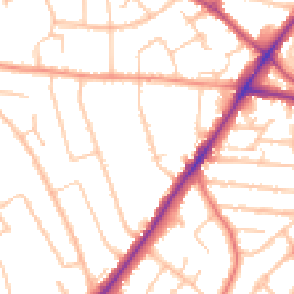
Daytime· 07:00 – 23:00
50.4dB

Night-time· 23:00 – 07:00
41.0dB