50 Burncross Way, Wolverhampton, WV10 9YH
About 50 Burncross Way
50 Burncross Way is a two-bedroom semi-detached house in Wolverhampton (WV10 9YH). It has a recorded floor area of 58 m² (around 624 sq ft), construction records dating it to 1983-1990 and council tax band B. Tenure is freehold. The latest certificate (September 2016) shows a D (score 60), on the cusp of jumping into the C band. The recommended improvements would lift it to B (score 85), a 2-band jump. Our model identifies extension potential, subject to local planning policy.
Across 1998–2024, sale prices on this property compounded at 5.6% per year. On a £-per-square-foot basis, the last sale (£266/sq ft) was about 101.6% above the typical sold price in the postcode. Sold May 2024 for £166,000.
What this property has
Inside
- Bedrooms2
- Bathrooms1
Building
- TenureFreehold
- RefurbishedYes
- Extension potentialPossible
Everything you need to know about 50 Burncross Way
The true value, the hidden risks and the full sale history, in one report.
Pick your report · every report is £14.99
One time fee only - money back guarantee

The data behind every report


Energy performance
Recommended upgrades on file would lift this property by multiple EPC bands.
EPC Rating
Get a survey for this property
Level 2 HomeBuyer Report
We've checked 10 risk factors against the available data for this property and believe a Level 2 HomeBuyer Report could be a suitable option for you.
From £495 · Includes VAT
Planning history
50 Burncross Way has no planning applications on record.
A planning report still maps activity across the surrounding area and reads this property's extension & conversion potential.
Sales history & valuation
Latest sale on 50 Burncross Way was the highest on Land Registry record across the postcode.
£182,000
Modelled from EPC, postcode comparables and a sale-price growth of 5.6% per year over 26 years.
£166,000
Growth on file: 5.6% per year over 26 years.
Sales timeline
30 May 2024Most recent
£166,000
+77.5%over 19 years24 January 2005
£93,500
+24.7%over 1 year24 July 2003
£75,000
+78.8%over 4 years17 September 1998
£41,950
+4.4%26 May 1998
£40,180
Median price across the last 5 sales in WV10 9YH: £96,000 (2019–2013).
Nearby sales in WV10 9YH
39 Burncross Way, Wolverhampton, WV10 9YH
Sold Apr 2019
£110,00044 Burncross Way, Wolverhampton, WV10 9YH
Sold Aug 2016
£120,00048 Burncross Way, Wolverhampton, WV10 9YH
Sold May 2015
£96,00040 Burncross Way, Wolverhampton, WV10 9YH
Sold Oct 2013
£82,00036 Burncross Way, Wolverhampton, WV10 9YH
Sold Aug 2013
£90,000
Versus other Burncross Way homes
On price per m², 50 Burncross Way stands well clear of the street.
Price per m²
£2,862
Street avg £1,539
Floor Area
58 m²
Street avg 67 m²
Habitable Rooms
4 rooms
Street avg 4 rooms
CO₂ Emissions
3.4 t/year
Street avg 2.9 t/year
Everything you need to know about 50 Burncross Way
The true value, the hidden risks and the full sale history, in one report.
Pick your report · every report is £14.99
One time fee only - money back guarantee
The data behind every report
Similar properties nearby
The neighbourhood at a glance
Crime
6/mo
Steady year-on-year across the wider district.
Nearest stop
1.8 km
Wolverhampton Rail Station — railway station.
Closest school
0.7 km
St Mary's Catholic Primary Academy. 35 schools nearby.
Go deeper on the local area
A Local Area report breaks down crime, transport links, schools and air quality in depth.
Road noise across the postcode
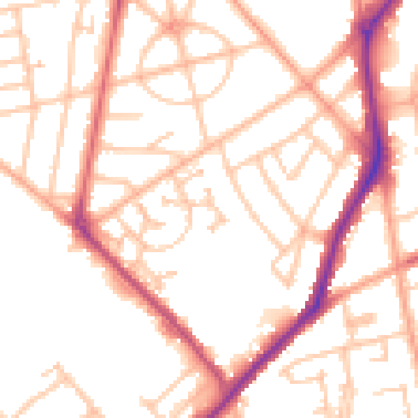
Daytime· 07:00 – 23:00
51.7dB

Night-time· 23:00 – 07:00
42.4dB