20 Ashfield Road, Fordhouses, Wolverhampton, WV10 6QX
About 20 Ashfield Road
20 Ashfield Road is a semi-detached house in Fordhouses, Wolverhampton, Wolverhampton (WV10 6QX). It has a recorded floor area of 83 m² (around 893 sq ft), construction records dating it to 1930-1949 and council tax band B. The latest certificate (August 2013) shows a D (score 63), on the cusp of jumping into the C band. The recommended improvements would lift it to B (score 86), a 2-band jump. The latest certificate is from August 2013, so improvements made since then won't be reflected.
It hasn't traded since April 2000, a hold of 26 years that's notably long for the area. Across 1997–2000, sale prices on this property compounded at 6.3% per year. Today's modelled estimate of £190,000 sits 276.2% above the 2000 sale of £50,500. On a £-per-square-foot basis, the last sale (£57/sq ft) was about 62.6% below the postcode norm.
Everything you need to know about 20 Ashfield Road
The true value, the hidden risks and the full sale history, in one report.
Pick your report · every report is £14.99
One time fee only - money back guarantee

The data behind every report


Energy performance
Recommended upgrades on file would lift this property by multiple EPC bands.
EPC Expired
This certificate is over 10 years old and is no longer valid.Expired 26 Aug 2023
EPC Rating
Get a survey for this property
Level 2 HomeBuyer Report
We've checked 10 risk factors against the available data for this property and believe a Level 2 HomeBuyer Report could be a suitable option for you.
From £495 · Includes VAT
Planning history
20 Ashfield Road has no planning applications on record.
But the area is active
2 notable applications nearby — larger schemes and conversions that could reshape the street. The report maps them all.
Sales history & valuation
20 Ashfield Road's modelled value sits at over four times its earliest registered sale price (1997).
£190,000
Modelled from EPC, postcode comparables and a sale-price growth of 6.3% per year over 2 years.
£50,500
Growth on file: 6.3% per year over 2 years.
Sales timeline
13 April 2000Most recent
£50,500
+16.1%over 2 years7 November 1997
£43,500
Median price across the last 5 sales in WV10 6QX: £184,000 (2025–2022).
Nearby sales in WV10 6QX
30 Ashfield Road, Fordhouses, Wolverhampton, WV10 6QX
Sold Sept 2025
£184,00015 Ashfield Road, Fordhouses, Wolverhampton, WV10 6QX
Sold Sept 2024
£185,00036 Ashfield Road, Fordhouses, Wolverhampton, WV10 6QX
Sold Apr 2022
£162,2504 Ashfield Road, Fordhouses, Wolverhampton, WV10 6QX
Sold Feb 2022
£185,0005 Ashfield Road, Fordhouses, Wolverhampton, WV10 6QX
Sold Oct 2021
£198,000
Versus other Ashfield Road homes
On price per m², 20 Ashfield Road runs well behind the street norm.
Price per m²
£608
Street avg £1,851
Floor Area
83 m²
Street avg 78 m²
Habitable Rooms
4 rooms
Street avg 4 rooms
CO₂ Emissions
3.6 t/year
Street avg 3.7 t/year
Everything you need to know about 20 Ashfield Road
The true value, the hidden risks and the full sale history, in one report.
Pick your report · every report is £14.99
One time fee only - money back guarantee
The data behind every report
Similar properties nearby
The neighbourhood at a glance
Daytime road noise here sits well below conversation level — a quiet pocket of the postcode.
Crime
6/mo
Steady year-on-year across the wider district.
Nearest stop
0.8 km
Moog — bus stop.
Closest school
0.4 km
St Anthony's Catholic Primary Academy. 18 schools nearby.
Go deeper on the local area
A Local Area report breaks down crime, transport links, schools and air quality in depth.
Road noise across the postcode
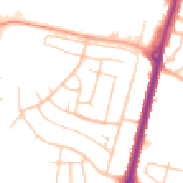
Daytime· 07:00 – 23:00
50.0dB

Night-time· 23:00 – 07:00
40.5dB