11 Ashfield Road, Fordhouses, Wolverhampton, WV10 6QX
About 11 Ashfield Road
11 Ashfield Road is a semi-detached house in Fordhouses, Wolverhampton, Wolverhampton (WV10 6QX). It has a recorded floor area of 78 m² (around 840 sq ft), construction records dating it to 1950-1966 and council tax band B. The latest certificate (November 2018) shows an E (score 54), well below the UK norm with real room to improve. The recommended improvements would push it to D (score 68).
Today's modelled estimate of £213,000 sits 52.1% above the 2019 sale of £140,000. It lags the bulk of the postcode on energy efficiency (less efficient than 85% of similar EPCs). Most recent transfer: February 2019 at £140,000.
Everything you need to know about 11 Ashfield Road
The true value, the hidden risks and the full sale history, in one report.
Pick your report · every report is £14.99
One time fee only - money back guarantee

The data behind every report


Energy performance
EPC Rating
Get a survey for this property
Level 2 HomeBuyer Report
We've checked 10 risk factors against the available data for this property and believe a Level 2 HomeBuyer Report could be a suitable option for you.
From £545 · Includes VAT
Planning history
11 Ashfield Road has no planning applications on record.
But the area is active
2 notable applications nearby — larger schemes and conversions that could reshape the street. The report maps them all.
Sales history & valuation
11 Ashfield Road valuation sits well clear of the typical sold price in this postcode.
£213,000
Modelled from EPC, postcode comparables.
£140,000
Recorded with HM Land Registry.
Sales timeline
1 February 2019Most recent
£140,000
Median price across the last 5 sales in WV10 6QX: £184,000 (2025–2022).
Nearby sales in WV10 6QX
30 Ashfield Road, Fordhouses, Wolverhampton, WV10 6QX
Sold Sept 2025
£184,00015 Ashfield Road, Fordhouses, Wolverhampton, WV10 6QX
Sold Sept 2024
£185,00036 Ashfield Road, Fordhouses, Wolverhampton, WV10 6QX
Sold Apr 2022
£162,2504 Ashfield Road, Fordhouses, Wolverhampton, WV10 6QX
Sold Feb 2022
£185,0005 Ashfield Road, Fordhouses, Wolverhampton, WV10 6QX
Sold Oct 2021
£198,000
Versus other Ashfield Road homes
EPC Rating for 11 Ashfield Road lags the street by a wide margin.
Price per m²
£1,795
Street avg £1,772
Floor Area
78 m²
Street avg 78 m²
Habitable Rooms
5 rooms
Street avg 4 rooms
CO₂ Emissions
5.1 t/year
Street avg 3.6 t/year
Everything you need to know about 11 Ashfield Road
The true value, the hidden risks and the full sale history, in one report.
Pick your report · every report is £14.99
One time fee only - money back guarantee
The data behind every report
Similar properties nearby
The neighbourhood at a glance
Daytime road noise here sits well below conversation level — a quiet pocket of the postcode.
Crime
6/mo
Steady year-on-year across the wider district.
Nearest stop
0.8 km
Moog — bus stop.
Closest school
0.4 km
St Anthony's Catholic Primary Academy. 18 schools nearby.
Go deeper on the local area
A Local Area report breaks down crime, transport links, schools and air quality in depth.
Road noise across the postcode
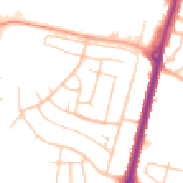
Daytime· 07:00 – 23:00
50.0dB

Night-time· 23:00 – 07:00
40.5dB