23 Cadwell Crescent, Wolverhampton, WV10 6FF
About 23 Cadwell Crescent
23 Cadwell Crescent is a semi-detached house in Wolverhampton (WV10 6FF). It has a recorded floor area of 77 m² (around 829 sq ft). The latest certificate (December 2017) returns a high B (score 85), putting the home a stone's throw from an A rating. The recommended improvements would push it to A (score 97).
Last changed hands 8 years ago, in December 2017. Today's modelled estimate of £240,000 is 30.4% above the 2017 sale price.
Everything you need to know about 23 Cadwell Crescent
The true value, the hidden risks and the full sale history, in one report.
Pick your report · every report is £14.99
One time fee only - money back guarantee

The data behind every report


Energy performance
23 Cadwell Crescent's carbon output is low for the local stock.
EPC Rating
Get a survey for this property
Level 2 HomeBuyer Report
We've checked 10 risk factors against the available data for this property and believe a Level 2 HomeBuyer Report could be a suitable option for you.
From £545 · Includes VAT
Planning history
23 Cadwell Crescent has no planning applications on record.
But the area is active
2 notable applications nearby — larger schemes and conversions that could reshape the street. The report maps them all.
Sales history & valuation
£240,000
Modelled from EPC, postcode comparables.
£183,995
Recorded with HM Land Registry.
Sales timeline
21 December 2017Most recent
£183,995
Median price across the last 5 sales in WV10 6FF: £280,825 (2025–2022).
Nearby sales in WV10 6FF
9 Cadwell Crescent, Wolverhampton, WV10 6FF
Sold Jan 2025
£238,0008 Cadwell Crescent, Wolverhampton, WV10 6FF
Sold Sept 2024
£270,0002 Cadwell Crescent, Wolverhampton, WV10 6FF
Sold Jan 2023
£282,5003 Cadwell Crescent, Wolverhampton, WV10 6FF
Sold Aug 2022
£320,0001 Cadwell Crescent, Wolverhampton, WV10 6FF
Sold Jan 2022
£270,000
Versus other Cadwell Crescent homes
On epc rating, 23 Cadwell Crescent stands well clear of the street.
Price per m²
£2,390
Street avg £2,650
Floor Area
77 m²
Street avg 86 m²
CO₂ Emissions
1.1 t/year
Street avg 1.4 t/year
Years Held
8 years
Street avg 6 years
Everything you need to know about 23 Cadwell Crescent
The true value, the hidden risks and the full sale history, in one report.
Pick your report · every report is £14.99
One time fee only - money back guarantee
The data behind every report
Similar properties nearby
The neighbourhood at a glance
Crime
6/mo
Steady year-on-year across the wider district.
Nearest stop
2.3 km
Moog — bus stop.
Closest school
0.5 km
Bushbury Lane Academy. 31 schools nearby.
Go deeper on the local area
A Local Area report breaks down crime, transport links, schools and air quality in depth.
Road noise across the postcode
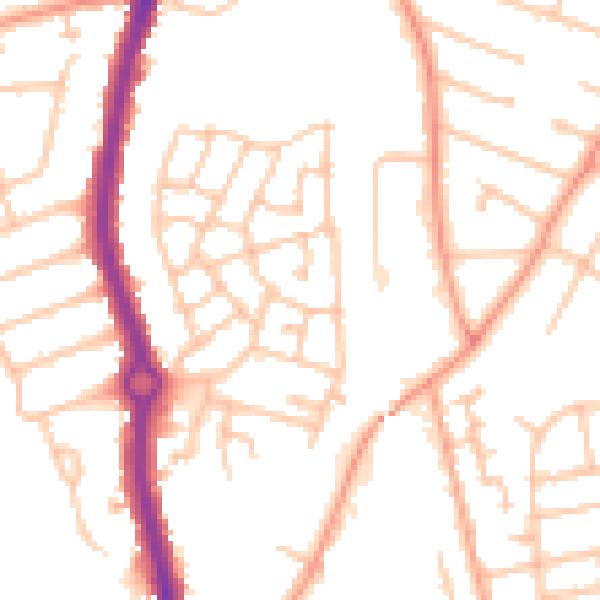
Daytime· 07:00 – 23:00
50.7dB
Night-time· 23:00 – 07:00
39.7dB