12 Cadwell Crescent, Wolverhampton, WV10 6FF
About 12 Cadwell Crescent
12 Cadwell Crescent is a semi-detached house in Wolverhampton (WV10 6FF). It has a recorded floor area of 71 m² (around 764 sq ft). The latest certificate (December 2019) returns a B (score 83), comfortably above the UK average. The recommended improvements would push it to A (score 96).
At 71 m² it's 21.1% smaller than the typical home in the postcode (90 m² median across 18 EPCs). Today's modelled estimate of £237,000 is 24.8% above the 2019 sale price. Last sale on file: £189,950 in December 2019.
Everything you need to know about 12 Cadwell Crescent
The true value, the hidden risks and the full sale history, in one report.
Pick your report · every report is £14.99
One time fee only - money back guarantee

The data behind every report


Energy performance
12 Cadwell Crescent's carbon output is low for the local stock.
EPC Rating
Get a survey for this property
Level 2 HomeBuyer Report
We've checked 10 risk factors against the available data for this property and believe a Level 2 HomeBuyer Report could be a suitable option for you.
From £545 · Includes VAT
Planning history
12 Cadwell Crescent has no planning applications on record.
But the area is active
2 notable applications nearby — larger schemes and conversions that could reshape the street. The report maps them all.
Sales history & valuation
£237,000
Modelled from EPC, postcode comparables.
£189,950
Recorded with HM Land Registry.
Sales timeline
19 December 2019Most recent
£189,950
Median price across the last 5 sales in WV10 6FF: £280,825 (2025–2022).
Nearby sales in WV10 6FF
9 Cadwell Crescent, Wolverhampton, WV10 6FF
Sold Jan 2025
£238,0008 Cadwell Crescent, Wolverhampton, WV10 6FF
Sold Sept 2024
£270,0002 Cadwell Crescent, Wolverhampton, WV10 6FF
Sold Jan 2023
£282,5003 Cadwell Crescent, Wolverhampton, WV10 6FF
Sold Aug 2022
£320,0001 Cadwell Crescent, Wolverhampton, WV10 6FF
Sold Jan 2022
£270,000
Versus other Cadwell Crescent homes
Floor Area for 12 Cadwell Crescent lags the street by a wide margin.
Price per m²
£2,675
Street avg £2,634
Floor Area
71 m²
Street avg 87 m²
CO₂ Emissions
1.2 t/year
Street avg 1.4 t/year
Years Held
6 years
Street avg 6 years
Everything you need to know about 12 Cadwell Crescent
The true value, the hidden risks and the full sale history, in one report.
Pick your report · every report is £14.99
One time fee only - money back guarantee
The data behind every report
Similar properties nearby
The neighbourhood at a glance
Crime
6/mo
Steady year-on-year across the wider district.
Nearest stop
2.3 km
Moog — bus stop.
Closest school
0.5 km
Bushbury Lane Academy. 31 schools nearby.
Go deeper on the local area
A Local Area report breaks down crime, transport links, schools and air quality in depth.
Road noise across the postcode
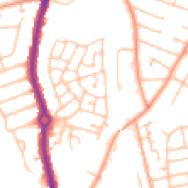
Daytime· 07:00 – 23:00
50.7dB
Night-time· 23:00 – 07:00
39.7dB