12 Akron Drive, Wolverhampton, WV10 6EG
About 12 Akron Drive
12 Akron Drive is a semi-detached house in Wolverhampton (WV10 6EG). It has a recorded floor area of 81 m² (around 872 sq ft). The latest certificate (August 2014) shows a C (score 78), near the top of the C band. The recommended improvements would push it to B (score 90). The latest certificate is from August 2014, so improvements made since then won't be reflected.
Across 2015–2024, sale prices on this property compounded at 4.5% per year. On a £-per-square-foot basis, the last sale (£281/sq ft) was about 59% above the typical sold price in the postcode. Last sale on file: £245,000 in July 2024.
Everything you need to know about 12 Akron Drive
The true value, the hidden risks and the full sale history, in one report.
Pick your report · every report is £14.99
One time fee only - money back guarantee

The data behind every report


Energy performance
12 Akron Drive's EPC is over a decade old — improvements since won't be reflected.
EPC Expired
This certificate is over 10 years old and is no longer valid.Expired 19 Aug 2024
EPC Rating
Get a survey for this property
Level 2 HomeBuyer Report
We've checked 10 risk factors against the available data for this property and believe a Level 2 HomeBuyer Report could be a suitable option for you.
From £545 · Includes VAT
Planning history
12 Akron Drive has no planning applications on record.
But the area is active
2 notable applications nearby — larger schemes and conversions that could reshape the street. The report maps them all.
Sales history & valuation
12 Akron Drive valuation sits well clear of the typical sold price in this postcode.
£227,000
Modelled from EPC, postcode comparables and a sale-price growth of 4.5% per year over 9 years.
£245,000
Growth on file: 4.5% per year over 9 years.
Sales timeline
22 July 2024Most recent
£245,000
+50.8%over 9 years20 February 2015
£162,500
Median price across the last 5 sales in WV10 6EG: £226,000 (2025–2024).
Nearby sales in WV10 6EG
16 Akron Drive, Wolverhampton, WV10 6EG
Sold Jul 2025
£175,00064 Akron Drive, Wolverhampton, WV10 6EG
Sold Oct 2024
£230,00050 Akron Drive, Wolverhampton, WV10 6EG
Sold Aug 2024
£226,00021 Akron Drive, Wolverhampton, WV10 6EG
Sold Jul 2024
£122,00026 Akron Drive, Wolverhampton, WV10 6EG
Sold Jun 2024
£345,000
Versus other Akron Drive homes
Years Held for 12 Akron Drive lags the street by a wide margin.
Price per m²
£3,025
Street avg £2,153
Floor Area
81 m²
Street avg 91 m²
CO₂ Emissions
2.0 t/year
Street avg 2.0 t/year
Years Held
2 years
Street avg 8 years
Everything you need to know about 12 Akron Drive
The true value, the hidden risks and the full sale history, in one report.
Pick your report · every report is £14.99
One time fee only - money back guarantee
The data behind every report
Similar properties nearby
The neighbourhood at a glance
Crime
6/mo
Steady year-on-year across the wider district.
Nearest stop
2.2 km
Moog — bus stop.
Closest school
0.6 km
Bushbury Lane Academy. 31 schools nearby.
Go deeper on the local area
A Local Area report breaks down crime, transport links, schools and air quality in depth.
Road noise across the postcode
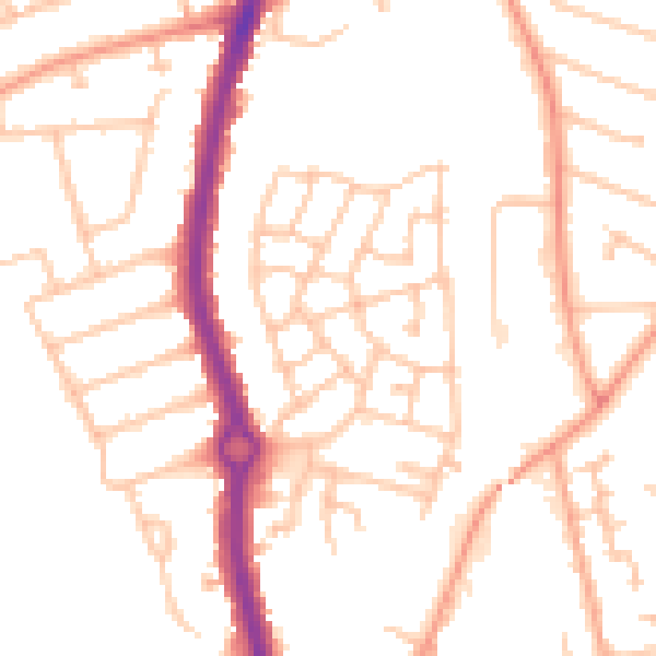
Daytime· 07:00 – 23:00
50.3dB

Night-time· 23:00 – 07:00
39.5dB