47 Leslie Road, Wolverhampton, WV10 0BT
About 47 Leslie Road
47 Leslie Road is a mid-terrace house in Wolverhampton (WV10 0BT). It has a recorded floor area of 93 m² (around 1001 sq ft), construction records dating it to 1900-1929 and council tax band A. The latest certificate (July 2014) shows an E (score 47), well below the UK norm with real room to improve. The recommended improvements would lift it to B (score 84), a 3-band jump. The latest certificate is from July 2014, so improvements made since then won't be reflected.
It lags the bulk of the postcode on energy efficiency (less efficient than 85% of similar EPCs). Across 2004–2024, sale prices on this property compounded at 3.9% per year. Today's modelled estimate of £145,000 is 16% above the 2024 sale price. On a £-per-square-foot basis, the last sale (£125/sq ft) was about 73.8% above the typical sold price in the postcode. Last sale on file: £125,000 in August 2024.
Everything you need to know about 47 Leslie Road
The true value, the hidden risks and the full sale history, in one report.
Pick your report · every report is £14.99
One time fee only - money back guarantee

The data behind every report


Energy performance
47 Leslie Road's carbon output runs well above what efficient homes in the postcode produce.
EPC Expired
This certificate is over 10 years old and is no longer valid.Expired 23 Jul 2024
EPC Rating
Get a survey for this property
Level 3 Building Survey
Because the property was built before 1919, has been extended more than once, and has solid (non-cavity) walls, we believe a Level 3 building survey should be considered.
From £820 · Includes VAT
Planning history
47 Leslie Road has no planning applications on record.
But the area is active
4 notable applications nearby — larger schemes and conversions that could reshape the street. The report maps them all.
Sales history & valuation
47 Leslie Road has more than doubled in price since the earliest registered sale in 2004.
£145,000
Modelled from EPC, postcode comparables and a sale-price growth of 3.9% per year over 20 years.
£125,000
Growth on file: 3.9% per year over 20 years.
Sales timeline
15 August 2024Most recent
£125,000
+117.4%over 20 years29 July 2004
£57,500
Median price across the last 5 sales in WV10 0BT: £118,000 (2023–2022).
Nearby sales in WV10 0BT
137 Leslie Road, Wolverhampton, WV10 0BT
Sold Apr 2023
£137,000123 Leslie Road, Wolverhampton, WV10 0BT
Sold Mar 2023
£95,0007 Leslie Road, Wolverhampton, WV10 0BT
Sold Dec 2022
£82,000113 Leslie Road, Wolverhampton, WV10 0BT
Sold Sept 2022
£118,0001 Leslie Road, Wolverhampton, WV10 0BT
Sold Jul 2022
£118,000
Versus other Leslie Road homes
47 Leslie Road is notably below the street on years held.
Price per m²
£1,344
Street avg £909
Floor Area
93 m²
Street avg 85 m²
Habitable Rooms
5 rooms
Street avg 5 rooms
CO₂ Emissions
6.2 t/year
Street avg 4.1 t/year
Everything you need to know about 47 Leslie Road
The true value, the hidden risks and the full sale history, in one report.
Pick your report · every report is £14.99
One time fee only - money back guarantee
The data behind every report
Similar properties nearby
The neighbourhood at a glance
Crime
6/mo
Steady year-on-year across the wider district.
Nearest stop
1.3 km
Wolverhampton Rail Station — railway station.
Closest school
0.3 km
Trinity CofE Primary Academy. 36 schools nearby.
Go deeper on the local area
A Local Area report breaks down crime, transport links, schools and air quality in depth.
Road noise across the postcode
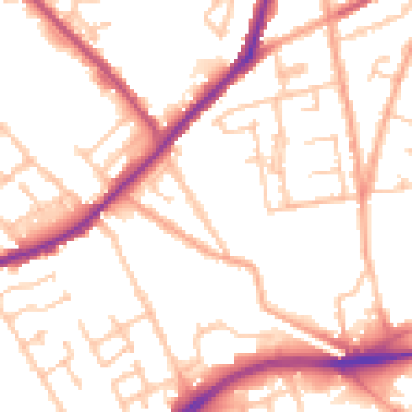
Daytime· 07:00 – 23:00
52.3dB

Night-time· 23:00 – 07:00
42.9dB