113 Leslie Road, Wolverhampton, WV10 0BT
About 113 Leslie Road
113 Leslie Road is a mid-terrace house in Wolverhampton (WV10 0BT). It has a recorded floor area of 96 m² (around 1033 sq ft), construction records dating it to before 1900 and council tax band A. The latest certificate (June 2022) shows a D (score 62), on the cusp of jumping into the C band. The recommended improvements would lift it to B (score 83), a 2-band jump.
Across 2007–2022, sale prices on this property compounded at 3.4% per year. Today's modelled estimate of £144,000 is 22% above the 2022 sale price. On a £-per-square-foot basis, the last sale (£114/sq ft) was about 58.9% above the typical sold price in the postcode. Sold September 2022 for £118,000. That sale was during the post-pandemic price surge, when transactions cleared materially above pre-2020 trend.
Everything you need to know about 113 Leslie Road
The true value, the hidden risks and the full sale history, in one report.
Pick your report · every report is £14.99
One time fee only - money back guarantee

The data behind every report


Energy performance
Recommended upgrades on file would lift this property by multiple EPC bands.
EPC Rating
Get a survey for this property
Level 3 Building Survey
Because the property was built before 1919, has been extended more than once, and has solid (non-cavity) walls, we believe a Level 3 building survey should be considered.
From £820 · Includes VAT
Planning history
113 Leslie Road has no planning applications on record.
But the area is active
4 notable applications nearby — larger schemes and conversions that could reshape the street. The report maps them all.
Sales history & valuation
The latest sale landed in the post-pandemic price surge — useful context when reading the figure.
£144,000
Modelled from EPC, postcode comparables and a sale-price growth of 3.4% per year over 15 years.
£118,000
Growth on file: 3.4% per year over 15 years.
Sales timeline
21 September 2022Most recent
£118,000
+63.9%over 14 years9 November 2007
£72,000
Median price across the last 5 sales in WV10 0BT: £118,000 (2024–2022).
Nearby sales in WV10 0BT
Versus other Leslie Road homes
On years held, 113 Leslie Road runs well behind the street norm.
Price per m²
£1,229
Street avg £912
Floor Area
96 m²
Street avg 85 m²
Habitable Rooms
5 rooms
Street avg 5 rooms
CO₂ Emissions
4.4 t/year
Street avg 4.1 t/year
Everything you need to know about 113 Leslie Road
The true value, the hidden risks and the full sale history, in one report.
Pick your report · every report is £14.99
One time fee only - money back guarantee
The data behind every report
Similar properties nearby
The neighbourhood at a glance
Crime
6/mo
Steady year-on-year across the wider district.
Nearest stop
1.3 km
Wolverhampton Rail Station — railway station.
Closest school
0.3 km
Trinity CofE Primary Academy. 36 schools nearby.
Go deeper on the local area
A Local Area report breaks down crime, transport links, schools and air quality in depth.
Road noise across the postcode
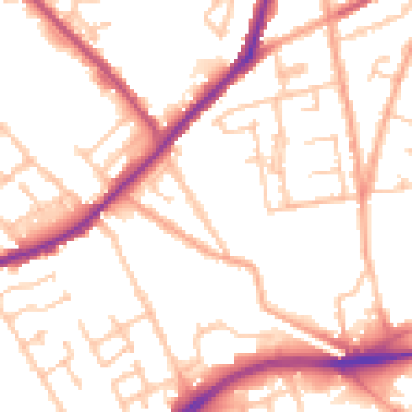
Daytime· 07:00 – 23:00
52.3dB

Night-time· 23:00 – 07:00
42.9dB