153 Powell Street, Wolverhampton, WV10 0BS
About 153 Powell Street
153 Powell Street is a two-bedroom mid-terrace house in Wolverhampton (WV10 0BS). It has a recorded floor area of 77 m² (around 829 sq ft), construction records dating it to 1900-1929 and council tax band A. The latest certificate (July 2014) shows a C (score 69), just inside the C band. When first surveyed in May 2009 the rating was D, the property has climbed 1 band since. Between certificates, wall efficiency went from Very Poor to Poor and roof efficiency went from Average to Very Good. The recommended improvements would push it to B (score 87). The latest certificate is from July 2014, so improvements made since then won't be reflected. Our model identifies extension potential, subject to local planning policy.
Across 2002–2020, sale prices on this property compounded at 6.1% per year. Today's modelled estimate of £134,000 sits 56.7% above the 2020 sale of £85,500. On a £-per-square-foot basis, the last sale (£103/sq ft) was about 33.2% above the typical sold price in the postcode. Its energy rating outperforms most of the postcode (better than 83% of similar EPCs). Most recent transfer: June 2020 at £85,500.
What this property has
Inside
- Bedrooms2
- Bathrooms1
- Dining roomYes
Outside
- Private gardenYes
Building
- Extension potentialPossible
Everything you need to know about 153 Powell Street
The true value, the hidden risks and the full sale history, in one report.
Pick your report · every report is £14.99
One time fee only - money back guarantee

The data behind every report


Energy performance
153 Powell Street's EPC is over a decade old — improvements since won't be reflected.
EPC Expired
This certificate is over 10 years old and is no longer valid.Expired 03 Jul 2024
EPC Rating
Property Improvements
Changes detected from historical EPC data
Heating controls changed
Wall insulation improved
Loft insulation installed or upgraded to 250mm+
Get a survey for this property
Level 3 Building Survey
Because the property was built before 1919 and has solid (non-cavity) walls, we believe a Level 3 building survey should be considered.
From £820 · Includes VAT
Planning history
153 Powell Street has no planning applications on record.
But the area is active
4 notable applications nearby — larger schemes and conversions that could reshape the street. The report maps them all.
Sales history & valuation
Sale price has at least doubled since 2002.
£134,000
Modelled from EPC, postcode comparables and a sale-price growth of 6.1% per year over 18 years.
£85,500
Growth on file: 6.1% per year over 18 years.
Sales timeline
25 June 2020Most recent
£85,500
+40.2%over 9 years16 May 2011
£61,000
+110.3%over 9 years28 February 2002
£29,000
Median price across the last 5 sales in WV10 0BS: £90,000 (2024–2018).
Nearby sales in WV10 0BS
159 Powell Street, Wolverhampton, WV10 0BS
Sold Oct 2024
£97,000147 Powell Street, Wolverhampton, WV10 0BS
Sold Sept 2024
£90,000157 Powell Street, Wolverhampton, WV10 0BS
Sold Oct 2022
£95,000149 Powell Street, Wolverhampton, WV10 0BS
Sold May 2021
£80,000161 Powell Street, Wolverhampton, WV10 0BS
Sold Dec 2018
£74,000
Versus other Powell Street homes
CO₂ Emissions for 153 Powell Street runs comfortably ahead of the street norm.
Price per m²
£1,110
Street avg £936
Floor Area
77 m²
Street avg 79 m²
Habitable Rooms
4 rooms
Street avg 4 rooms
CO₂ Emissions
2.7 t/year
Street avg 4.3 t/year
Everything you need to know about 153 Powell Street
The true value, the hidden risks and the full sale history, in one report.
Pick your report · every report is £14.99
One time fee only - money back guarantee
The data behind every report
Similar properties nearby
1 Broad Gauge Way
WV10 0AX
1 Grayling Walk
WV10 0TW
1 Malpas Walk
WV10 0UD
1 Jeremiah Road
WV10 0AJ
1 Barbel Drive
WV10 0TQ
1 Deyncourt Road
WV10 0SG
1 Church Street, Heath Town
WV10 0LU
1 Church Gardens, Powell Street, Heath Town
WV10 0BP
The neighbourhood at a glance
Crime
6/mo
Steady year-on-year across the wider district.
Nearest stop
1.2 km
Wolverhampton Rail Station — railway station.
Closest school
0.2 km
Trinity CofE Primary Academy. 37 schools nearby.
Go deeper on the local area
A Local Area report breaks down crime, transport links, schools and air quality in depth.
Road noise across the postcode
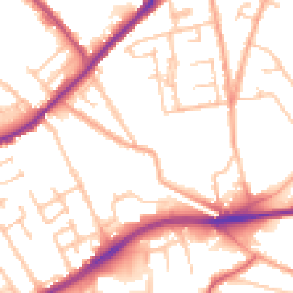
Daytime· 07:00 – 23:00
52.7dB

Night-time· 23:00 – 07:00
43.0dB