126 Broad Gauge Way, Wolverhampton, WV10 0BA
About 126 Broad Gauge Way
126 Broad Gauge Way is a two-bedroom semi-detached house in Wolverhampton (WV10 0BA). It has a recorded floor area of 61 m² (around 657 sq ft), construction records dating it to 2007-2011 and council tax band B. At 61 m² this is the 33rd smallest of 70 units on EPC record in the building, where floor areas span 27–82 m². The building's EPC ratings span D to B across 70 units on file. The latest certificate (July 2023) shows a C (score 80), near the top of the C band. The recommended improvements would push it to B (score 85). Main heating runs on electricity.
Across 2011–2024, sale prices on this property compounded at 1.5% per year. On a £-per-square-foot basis, the last sale (£187/sq ft) was about 24.1% above the typical sold price in the postcode. Sold October 2024 for £122,500.
What this property has
Inside
- Bedrooms2
- Bathrooms2
Everything you need to know about 126 Broad Gauge Way
The true value, the hidden risks and the full sale history, in one report.
Pick your report · every report is £14.99
One time fee only - money back guarantee

The data behind every report


Energy performance
EPC Rating
Get a survey for this property
Level 3 Building Survey
Because the property has no mains gas supply, we believe a Level 3 building survey should be considered.
From £820 · Includes VAT
Planning history
126 Broad Gauge Way has no planning applications on record.
But the area is active
4 notable applications nearby — larger schemes and conversions that could reshape the street. The report maps them all.
Sales history & valuation
126 Broad Gauge Way's sale-price growth has lagged the wider UK trajectory across its history on file.
£126,000
Modelled from EPC, postcode comparables and a sale-price growth of 1.5% per year over 14 years.
£122,500
Growth on file: 1.5% per year over 14 years.
Sales timeline
31 October 2024Most recent
£122,500
+22.6%over 13 years25 February 2011
£99,950
Median price across the last 5 sales in WV10 0BA: £119,950 (2025–2022).
Nearby sales in WV10 0BA
133 Broad Gauge Way, Wolverhampton, WV10 0BA
Sold Jun 2025
£119,950188 Broad Gauge Way, Wolverhampton, WV10 0BA
Sold Dec 2024
£110,000127 Broad Gauge Way, Wolverhampton, WV10 0BA
Sold Jul 2024
£83,000158 Broad Gauge Way, Wolverhampton, WV10 0BA
Sold Apr 2024
£120,000181 Broad Gauge Way, Wolverhampton, WV10 0BA
Sold Dec 2022
£120,000
Versus other Broad Gauge Way homes
126 Broad Gauge Way is notably below the street on years held.
Price per m²
£2,008
Street avg £1,573
Floor Area
61 m²
Street avg 60 m²
Habitable Rooms
3 rooms
Street avg 3 rooms
CO₂ Emissions
1.8 t/year
Street avg 2.0 t/year
Everything you need to know about 126 Broad Gauge Way
The true value, the hidden risks and the full sale history, in one report.
Pick your report · every report is £14.99
One time fee only - money back guarantee
The data behind every report
Similar properties nearby
1 Broad Gauge Way
WV10 0AX
1 Grayling Walk
WV10 0TW
1 Malpas Walk
WV10 0UD
1 Jeremiah Road
WV10 0AJ
1 Barbel Drive
WV10 0TQ
1 Deyncourt Road
WV10 0SG
1 Grove Street, Heath Town
WV10 0PY
1 Church Street, Heath Town
WV10 0LU
The neighbourhood at a glance
Rail-style transport is unusually close for this postcode.
Crime
6/mo
Steady year-on-year across the wider district.
Nearest stop
0.1 km
Wolverhampton Rail Station — railway station.
Closest school
0.4 km
Thomas Telford University Technical College. 40 schools nearby.
Go deeper on the local area
A Local Area report breaks down crime, transport links, schools and air quality in depth.
Road noise across the postcode
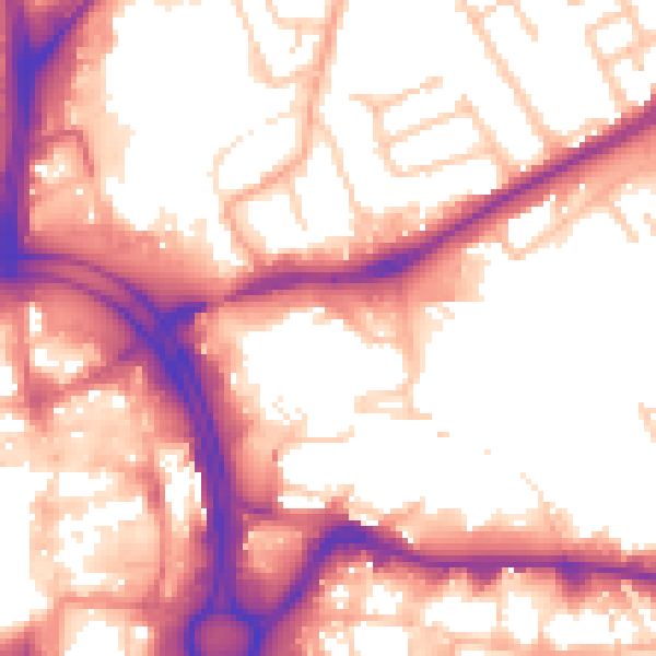
Daytime· 07:00 – 23:00
56.7dB

Night-time· 23:00 – 07:00
47.5dB