278 Walsall Road, Great Wyrley, Walsall, WS6 6DN
About 278 Walsall Road
278 Walsall Road is a three-bedroom detached house in Great Wyrley, Walsall, Walsall (WS6 6DN). It has a recorded floor area of 132 m² (around 1421 sq ft), construction records dating it to 1900-1929 and council tax band D. The latest certificate (June 2013) shows an E (score 53), well below the UK norm with real room to improve. The rating has held steady at E across 2 certificates since October 2008. Between certificates, lighting dropped from Average to Poor. The recommended improvements would lift it to C (score 78), a 2-band jump. The latest certificate is from June 2013, so improvements made since then won't be reflected.
Held since June 2005 — that's 21 years off the open market, well above the local norm. At 132 m² the property is well over the postcode median (88 m² across 37 EPCs), placing it in the larger end of the local stock. It lags the bulk of the postcode on energy efficiency (less efficient than 81% of similar EPCs). Across 2003–2005, sale prices on this property compounded at 15.6% per year. Today's modelled estimate of £333,000 sits 58.6% above the 2005 sale of £210,000. One planning record on file: an extension approved in 2003. Past consents include an extension, meaningful when judging how the property has evolved.
What this property has
Inside
- Bedrooms3
Everything you need to know about 278 Walsall Road
The true value, the hidden risks and the full sale history, in one report.
Pick your report · every report is £14.99
One time fee only - money back guarantee

The data behind every report


Energy performance
278 Walsall Road's carbon output runs well above what efficient homes in the postcode produce.
EPC Expired
This certificate is over 10 years old and is no longer valid.Expired 03 Jun 2023
EPC Rating
Get a survey for this property
Level 3 Building Survey
Because the property was built before 1919 and has solid (non-cavity) walls, we believe a Level 3 building survey should be considered.
From £955 · Includes VAT
Planning history
278 Walsall Road has an approved extension on the planning record.
1 application on record at 278 Walsall Road, Great Wyrley, Walsall, WS6 6DN
- May 2003ExtensionFullOutcome in report
Alterations and extension to provide canopy and wc
- Reference
- 03/00355/FUL
Unlock 278 Walsall Road, Great Wyrley, Walsall, WS6 6DN's full planning history
You're seeing the shape of it. The report has the substance.
- Every decision — granted, refused or withdrawn (1 on record)
- All 1 application on this property in full, plus 2 notable nearby
- What the pattern means for extending or converting here
One time fee only - money back guarantee
Sales history & valuation
278 Walsall Road valuation sits well clear of the typical sold price in this postcode.
£333,000
Modelled from EPC, postcode comparables and a sale-price growth of 15.6% per year over 2 years.
£210,000
Growth on file: 15.6% per year over 2 years.
Sales timeline
30 June 2005Most recent
£210,000
+40.0%over 2 years7 March 2003
£149,995
Median price across the last 5 sales in WS6 6DN: £240,000 (2024–2022).
Nearby sales in WS6 6DN
378 Walsall Road, Great Wyrley, Walsall, WS6 6DN
Sold Sept 2024
£140,000270 Walsall Road, Great Wyrley, Walsall, WS6 6DN
Sold Jun 2024
£395,000338 Walsall Road, Great Wyrley, Walsall, WS6 6DN
Sold Oct 2023
£240,000268 Walsall Road, Great Wyrley, Walsall, WS6 6DN
Sold Mar 2023
£285,000354 Walsall Road, Great Wyrley, Walsall, WS6 6DN
Sold Aug 2022
£190,000
Versus other Walsall Road homes
On habitable rooms, 278 Walsall Road stands well clear of the street.
Price per m²
£1,591
Street avg £1,665
Floor Area
132 m²
Street avg 96 m²
Habitable Rooms
7 rooms
Street avg 5 rooms
CO₂ Emissions
7.0 t/year
Street avg 4.6 t/year
Everything you need to know about 278 Walsall Road
The true value, the hidden risks and the full sale history, in one report.
Pick your report · every report is £14.99
One time fee only - money back guarantee
The data behind every report
Similar properties nearby
1 Appledore Close, Great Wyrley
WS6 6DQ
1 Estridge Lane
WS6 6EL
1 Bentons Lane
WS6 6EF
1 Anson Road, Great Wyrley
WS6 6JE
1 Achilles Close
WS6 6JW
1 Brooklands Avenue
WS6 6LF
1 Bobbin Close, Great Wyrley
WS6 6GF
1 Brook Lane, Great Wyrley
WS6 6BQ
The neighbourhood at a glance
Rail-style transport is unusually close for this postcode.
Crime
3/mo
Steady year-on-year across the wider district.
Nearest stop
0.1 km
Sports and Social Club — bus stop.
Closest school
0.8 km
Moat Hall Primary Academy. 9 schools nearby.
Go deeper on the local area
A Local Area report breaks down crime, transport links, schools and air quality in depth.
Road noise across the postcode
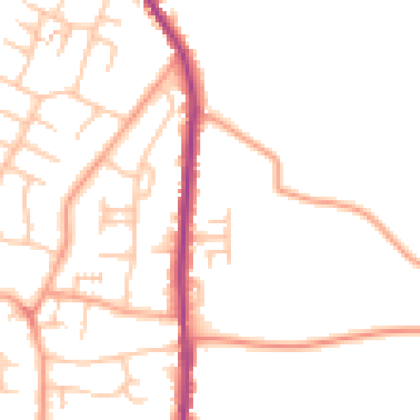
Daytime· 07:00 – 23:00
49.1dB

Night-time· 23:00 – 07:00
39.6dB