598 Walsall Road, Great Wyrley, Walsall, WS6 6AG
About 598 Walsall Road
598 Walsall Road is a three-bedroom detached house in Great Wyrley, Walsall, Walsall (WS6 6AG). It has a recorded floor area of 117 m² (around 1259 sq ft), construction records dating it to 1930-1949 and council tax band E. The latest certificate (June 2012) shows an E (score 53), well below the UK norm with real room to improve. The recommended improvements would lift it to B (score 81), a 3-band jump. The latest certificate is from June 2012, so improvements made since then won't be reflected. Our model identifies extension potential, subject to local planning policy.
One planning record on file: an extension approved in 2015. Past consents include an extension, meaningful when judging how the property has evolved. At 117 m² it's 20.6% larger than the typical home in the postcode (97 m² median across 7 EPCs). It lags the bulk of the postcode on energy efficiency (less efficient than 71% of similar EPCs). Today's modelled estimate of £372,000 is 40.4% above the 2014 sale price. On a £-per-square-foot basis, the last sale (£210/sq ft) was about 41.2% above the typical sold price in the postcode. Last sold in September 2014, so it's been off the market for around 12 years.
What this property has
Inside
- Bedrooms3
- Open-plan layoutYes
Outside
- GarageYes
Building
- Extension potentialPossible
Everything you need to know about 598 Walsall Road
The true value, the hidden risks and the full sale history, in one report.
Pick your report · every report is £14.99
One time fee only - money back guarantee

The data behind every report


Energy performance
598 Walsall Road's carbon output runs well above what efficient homes in the postcode produce.
EPC Expired
This certificate is over 10 years old and is no longer valid.Expired 27 Jun 2022
EPC Rating
Get a survey for this property
Level 3 Building Survey
Because the property has solid (non-cavity) walls, we believe a Level 3 building survey should be considered.
From £955 · Includes VAT
Planning history
1 application on record at 598 Walsall Road, Great Wyrley, Walsall, WS6 6AG
- Mar 2015ExtensionFullOutcome in report
Extension: Single storey · Rear of property
Single-storey rear extension and extension of main roof over garage, including installation of roof-light
- Documents
- 1 doc on file
- Reference
- 15/00058/FUL
Unlock 598 Walsall Road, Great Wyrley, Walsall, WS6 6AG's full planning history
You're seeing the shape of it. The report has the substance.
- Every decision — granted, refused or withdrawn (1 on record)
- All 1 application on this property in full, plus 2 notable nearby
- The 1 documents, officer reports & conditions
- What the pattern means for extending or converting here
One time fee only - money back guarantee
Sales history & valuation
598 Walsall Road valuation sits well clear of the typical sold price in this postcode.
£372,000
Modelled from EPC, postcode comparables.
£265,000
Recorded with HM Land Registry.
Sales timeline
4 September 2014Most recent
£265,000
Median price across the last 5 sales in WS6 6AG: £182,000 (2019–2017).
Nearby sales in WS6 6AG
584 Walsall Road, Great Wyrley, Walsall, WS6 6AG
Sold Jun 2019
£125,000580 Walsall Road, Great Wyrley, Walsall, WS6 6AG
Sold May 2019
£130,000576 Walsall Road, Great Wyrley, Walsall, WS6 6AG
Sold Jan 2019
£210,000578 Walsall Road, Great Wyrley, Walsall, WS6 6AG
Sold May 2018
£182,000528 Walsall Road, Great Wyrley, Walsall, WS6 6AG
Sold Dec 2017
£625,000
Versus other Walsall Road homes
598 Walsall Road outperforms the street on price per m² by a wide margin.
Price per m²
£2,265
Street avg £1,664
Floor Area
117 m²
Street avg 141 m²
Habitable Rooms
4 rooms
Street avg 5 rooms
CO₂ Emissions
6.4 t/year
Street avg 7.0 t/year
Everything you need to know about 598 Walsall Road
The true value, the hidden risks and the full sale history, in one report.
Pick your report · every report is £14.99
One time fee only - money back guarantee
The data behind every report
Similar properties nearby
1 Appledore Close, Great Wyrley
WS6 6DQ
1 Estridge Lane
WS6 6EL
1 Bentons Lane
WS6 6EF
1 Anson Road, Great Wyrley
WS6 6JE
1 Achilles Close
WS6 6JW
1 Brooklands Avenue
WS6 6LF
1 Bobbin Close, Great Wyrley
WS6 6GF
1 Brook Lane, Great Wyrley
WS6 6BQ
The neighbourhood at a glance
Rail-style transport is unusually close for this postcode.
Crime
3/mo
Steady year-on-year across the wider district.
Nearest stop
0.1 km
Holly Lane — bus stop.
Closest school
0.4 km
Landywood Primary School. 11 schools nearby.
Go deeper on the local area
A Local Area report breaks down crime, transport links, schools and air quality in depth.
Road noise across the postcode
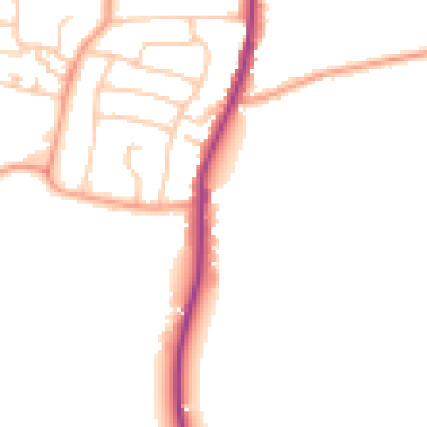
Daytime· 07:00 – 23:00
46.7dB

Night-time· 23:00 – 07:00
39.1dB