18 Herondale, Hednesford, Cannock, WS12 1UF
About 18 Herondale
18 Herondale is a one-bedroom end-of-terrace house in Hednesford, Cannock, Cannock (WS12 1UF). It has a recorded floor area of 38 m² (around 409 sq ft), construction records dating it to 1976-1982 and council tax band A. The latest certificate (February 2022) shows a D (score 66), on the cusp of jumping into the C band. Earlier certificates rated it C (February 2010); the latest reading is one band lower. Between certificates, lighting went from Very Poor to Very Good; while roof efficiency dropped from Good to Average. The recommended improvements would push it to C (score 76). At 38 m² this is the 7th smallest of 43 units on EPC record in the building, where floor areas span 33–117 m². The building's EPC ratings span E to B across 43 units on file. Our model identifies extension potential, subject to local planning policy.
Across 1997–2022, sale prices on this property compounded at 5.3% per year. Today's modelled estimate of £110,000 is 10% above the 2022 sale price. On a £-per-square-foot basis, the last sale (£244/sq ft) was about 84.3% above the typical sold price in the postcode. At 38 m² it's 18.3% smaller than the typical home in the postcode (47 m² median across 42 EPCs). Last sale on file: £100,000 in September 2022. That sale was during the post-pandemic price surge, when transactions cleared materially above pre-2020 trend.
Know exactly what you're buying at 18 Herondale
Before you offer, see what the listing won't tell you, the true value, the red flags and the full history.
Valuation
against the asking price
Risks
planning & flood
Sold prices
similar homes nearby
Trends
the local market
What this property has
Inside
- Bedrooms1
- Bathrooms1
Outside
- Private gardenSouth-facing
- ParkingOff road
Building
- Extension potentialPossible
Energy performance
EPC Rating
Property Improvements
Changes detected from historical EPC data
Heating controls upgraded for better temperature management
More low energy lighting installed
Planning history
18 Herondale has no planning applications on record.
The full report still covers planning activity across the surrounding area.
Sales history & valuation
18 Herondale has more than tripled in price since its earliest registered sale in 1997.
£110,000
Modelled from EPC, postcode comparables and a sale-price growth of 5.3% per year over 26 years.
£100,000
Growth on file: 5.3% per year over 26 years.
Sales timeline
20 September 2022Most recent
£100,000
+20.5%over 15 years10 November 2006
£83,000
+80.4%over 4 years8 November 2002
£46,000
+72.0%over 5 years14 February 1997
£26,750
Median price across the last 5 sales in WS12 1UF: £100,000 (2025–2023).
Nearby sales in WS12 1UF
15 Herondale, Hednesford, Cannock, WS12 1UF
Sold Sept 2025
£105,00040 Herondale, Hednesford, Cannock, WS12 1UF
Sold Oct 2024
£155,00033 Herondale, Hednesford, Cannock, WS12 1UF
Sold Aug 2024
£100,00029 Herondale, Hednesford, Cannock, WS12 1UF
Sold Jun 2024
£92,00024 Herondale, Hednesford, Cannock, WS12 1UF
Sold Jun 2023
£93,250
Everything we know about 18 Herondale, in one report
What it's really worth, what could be wrong, and the planning, sales and area data in full.
- Am I paying too much?
- Is something wrong with it?
- Is the agent's story true?
- Will it hold its value?

Versus other Herondale homes
On price per m², 18 Herondale stands well clear of the street.
Price per m²
£2,632
Street avg £1,772
Floor Area
38 m²
Street avg 42 m²
Habitable Rooms
2 rooms
Street avg 2 rooms
CO₂ Emissions
2.2 t/year
Street avg 2.4 t/year
Similar properties nearby
1 Helens Court, Hednesford
WS12 1DF
1 Beverley Hill, Hednesford
WS12 1QL
1 Chaffinch Close, Hednesford
WS12 1UH
1 Heather Valley, Hednesford
WS12 1TA
1 Bridge Court, Hednesford
WS12 1LR
1 Hereford Road, Hednesford
WS12 1LH
1 Church Hill Mews, Hednesford
WS12 1DP
1 Bedford Place, Hednesford
WS12 1LJ
The neighbourhood at a glance
Rail-style transport is unusually close for this postcode.
Crime
2/mo
Falling year-on-year across the wider district.
Nearest stop
0.4 km
Glendawn Close — bus stop.
Closest school
0.4 km
Chadsmoor Community Infants and Nursery School. 20 schools nearby.
Go deeper on the local area
The full report breaks down crime, transport links, schools and air quality in depth.
Road noise across the postcode
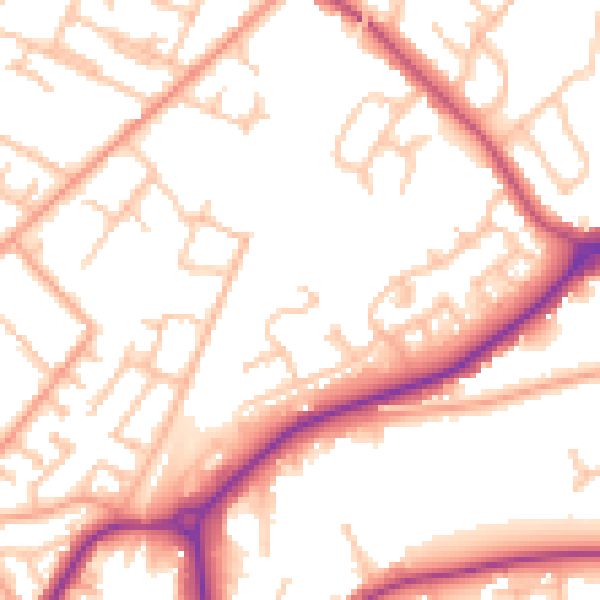
Daytime· 07:00 – 23:00
53.5dB
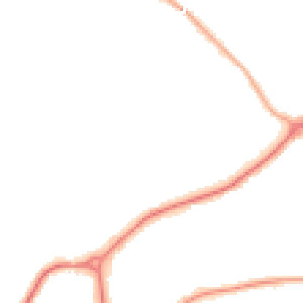
Night-time· 23:00 – 07:00
43.4dB