18 Redhouse Street, Walsall, WS1 4BQ
About 18 Redhouse Street
18 Redhouse Street is a two-bedroom end-of-terrace house in Walsall (WS1 4BQ). It has a recorded floor area of 80 m² (around 861 sq ft), construction records dating it to 1900-1929 and council tax band A. The latest certificate (April 2016) shows an E (score 48), well below the UK norm with real room to improve. When first surveyed in March 2010 the rating was G, the property has climbed 2 bands since. Between certificates, window efficiency went from Poor to Average, lighting went from Poor to Average and main heating went from Very Poor to Good; while roof efficiency dropped from Average to Very Poor and hot-water efficiency dropped from Very Good to Good. The recommended improvements would lift it to C (score 77), a 2-band jump. The latest certificate is from April 2016, so improvements made since then won't be reflected.
Today's modelled estimate of £139,000 sits 175.2% above the 2012 sale of £50,500. On a £-per-square-foot basis, the last sale (£59/sq ft) was about 42.4% below the postcode norm. At 80 m² it's 15.9% larger than the typical home in the postcode (69 m² median across 39 EPCs). It lags the bulk of the postcode on energy efficiency (less efficient than 85% of similar EPCs). On the market in February 2012 and unlisted since — roughly 14 years.
What this property has
Inside
- Bedrooms2
- Dining roomYes
- CloakroomYes
Everything you need to know about 18 Redhouse Street
The true value, the hidden risks and the full sale history, in one report.
Pick your report · from £14.99
One time fee only - money back guarantee

The data behind every report





Energy performance
Recommended upgrades on file would lift this property by multiple EPC bands.
EPC Expired
This certificate is over 10 years old and is no longer valid.Expired 17 Apr 2026
EPC Rating
Certificate validity
Expired on 17 April 2026
Property Improvements
Changes detected from historical EPC data
Upgraded to gas central heating
Connected to mains gas supply
Heating controls upgraded for better temperature management
Hot water system upgraded
Windows upgraded, improving insulation
Heating controls upgraded for better temperature management
More low energy lighting installed
Low energy lighting percentage decreased
Heating controls changed
More low energy lighting installed

Get a survey for this property
Level 3 Building Survey
Because the property was built before 1919 and has solid (non-cavity) walls, we believe a Level 3 building survey should be considered.
From £820 · Includes VAT
Planning history
18 Redhouse Street has no planning applications on record.
But the area is active
7 notable applications nearby — larger schemes and conversions that could reshape the street. The report maps them all.
Sales history & valuation
18 Redhouse Street valuation sits well clear of the typical sold price in this postcode.
£139,000
Modelled from EPC, postcode comparables.
£50,500
Recorded with HM Land Registry.
Sales timeline
17 February 2012Most recent
£50,500
Median price across the last 5 sales in WS1 4BQ: £130,000 (2026–2024).
Nearby sales in WS1 4BQ
Versus other Redhouse Street homes
On co₂ emissions, 18 Redhouse Street runs well behind the street norm.
Price per m²
£631
Street avg £1,297
Floor Area
80 m²
Street avg 74 m²
Habitable Rooms
4 rooms
Street avg 4 rooms
CO₂ Emissions
5.7 t/year
Street avg 3.4 t/year
Everything you need to know about 18 Redhouse Street
The true value, the hidden risks and the full sale history, in one report.
Pick your report · from £14.99
One time fee only - money back guarantee
The data behind every report
Similar properties nearby
The neighbourhood at a glance
Crime
290/mo
Steady year-on-year across the wider district.
Nearest stop
1.3 km
Walsall Rail Station — railway station.
Closest school
0.1 km
Whitehall Nursery and Infant Academy. 39 schools nearby.
Go deeper on the local area
A Local Area report breaks down crime, transport links, schools and air quality in depth.
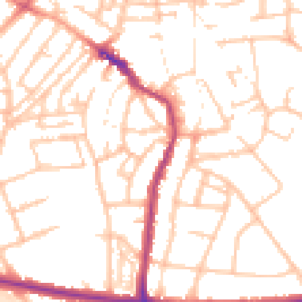
Road noise across the postcode
Daytime· 07:00 – 23:00
52.1dB

Night-time· 23:00 – 07:00
43.1dB