Orchard House, Malvern Road, Worcester, WR2 4BS
About Orchard House
Orchard House is a detached house in Worcester (WR2 4BS). It has a recorded floor area of 226 m² (around 2433 sq ft), construction records dating it to 1900-1929 and council tax band G. The latest certificate (July 2023) shows a D (score 59), a step below the typical UK home. When first surveyed in July 2023 the rating was E, the property has climbed 1 band since. Between certificates, lighting went from Good to Very Good; while wall efficiency dropped from Poor to Very Poor and window efficiency dropped from Average to Poor. The recommended improvements would push it to C (score 79).
At 226 m² it's 29.9% larger than the typical home in the postcode (174 m² median across 9 EPCs). Across 2003–2024, sale prices on this property compounded at 1.5% per year. On a £-per-square-foot basis, the last sale (£267/sq ft) was about 73.7% above the typical sold price in the postcode. Sold January 2024 for £650,000. One historical planning record sits against the property in 2018.
Everything you need to know about Orchard House
The true value, the hidden risks and the full sale history, in one report.
Pick your report · from £14.99
One time fee only - money back guarantee

The data behind every report







Energy performance
Orchard House's carbon output runs well above what efficient homes in the postcode produce.
EPC Rating
Certificate validity
Valid until 29 July 2033
Property Improvements
Changes detected from historical EPC data
More low energy lighting installed

Get a survey for this property
Level 3 Building Survey
Because the property was built before 1919, has been extended more than once, and has solid (non-cavity) walls, we believe a Level 3 building survey should be considered.
From £1,155 · Includes VAT
Planning history
1 application on record at Orchard House, Malvern Road, Worcester, WR2 4BS
- Sept 2018Tree WorksTreesOutcome in report
Ash (T1) adjacent to parking area & roadside boundary, Fell. Sycamore (T2) situated on roadside boundary, Remove large low branch over road, also major deadwood overhanging roadway. Ash (T3) adjacent to boundary & rear of Ash being felled, Remove large major stem overhanging road and reduce canopy by 50% to preveny encroachment of road. Sycamore (T4) adjacent to boundary fence rear of Norway maple, Fell. Douglas Fir (T5) adjacent to turning circle on drive side, Remove deadwood Ash (T6) small tree overhanging highway, adjacent to T4 Fell 2x Sycamore (T7), badlyleaning on roadside boundary, Fell. Twin-stemmed Ash (T8) adjacent to Cypress, leaning heavily towards road, Fell. Also remove low branches from stem to rear. Sycamore sapling (T9) adjacent to Douglas Fir, Fell. Group of roadside trees (T10) running from 30mph sign to south end by agricultural gate, Cut back to give statutory clearance to highways. Reasons: Clear highways / Potential danger / Poor Condition of trees.
- Documents
- 5 docs on file
- Reference
- C18C0031
Unlock Orchard House, Malvern Road, Worcester, WR2 4BS's full planning history
You're seeing the shape of it. The report has the substance.
- Every decision — granted, refused or withdrawn (1 on record)
- All 1 application on this property in full, plus 5 notable nearby
- The 5 documents, officer reports & conditions
- What the pattern means for extending or converting here
One time fee only - money back guarantee
Sales history & valuation
Latest sale on Orchard House was the highest on Land Registry record across the postcode.
£682,000
Modelled from EPC, postcode comparables and a sale-price growth of 1.5% per year over 21 years.
£650,000
Growth on file: 1.5% per year over 21 years.
Sales timeline
16 January 2024Most recent
£650,000
+36.8%over 20 years22 May 2003
£475,000
Median price across the last 5 sales in WR2 4BS: £450,000 (2025–2015).
Nearby sales in WR2 4BS
Lyttleton Croft, Malvern Road, Worcester, WR2 4BS
Sold Oct 2025
£405,0004 Temeside, Malvern Road, Worcester, WR2 4BS
Sold Sept 2021
£515,7502 Temeside, Malvern Road, Worcester, WR2 4BS
Sold Feb 2021
£475,0003 Temeside, Malvern Road, Worcester, WR2 4BS
Sold Apr 2015
£405,000Lyttleton Bungalow, Malvern Road, Worcester, WR2 4BS
Sold Dec 2014
£285,000
Versus other Malvern Road homes
On floor area, Orchard House stands well clear of the street.
Price per m²
£2,876
Street avg £2,510
Floor Area
226 m²
Street avg 163 m²
Habitable Rooms
10 rooms
Street avg 7 rooms
CO₂ Emissions
9.8 t/year
Street avg 6.6 t/year
Everything you need to know about Orchard House
The true value, the hidden risks and the full sale history, in one report.
Pick your report · from £14.99
One time fee only - money back guarantee
The data behind every report
Similar properties nearby
The neighbourhood at a glance
Daytime road noise here sits well below conversation level — a quiet pocket of the postcode.
Crime
133/mo
Falling year-on-year across the wider district.
Nearest stop
0.1 km
Lower Wick Island — bus stop.
Closest school
1.1 km
Pitmaston Primary School. 12 schools nearby.
Go deeper on the local area
A Local Area report breaks down crime, transport links, schools and air quality in depth.
Road noise across the postcode
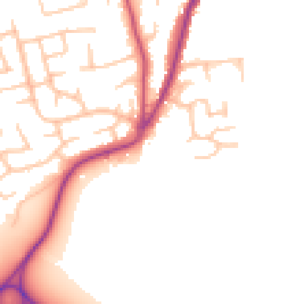
Daytime· 07:00 – 23:00
49.9dB

Night-time· 23:00 – 07:00
42.8dB