17 Bawdsey Avenue, Malvern, WR14 2EW
About 17 Bawdsey Avenue
17 Bawdsey Avenue is a three-bedroom semi-detached house in Malvern (WR14 2EW). It has a recorded floor area of 91 m² (around 980 sq ft), construction records dating it to 1967-1975 and council tax band B. The latest certificate (June 2024) shows a C (score 69), just inside the C band. The recommended improvements would push it to B (score 82). Records show the property has been extended at some point in its history.
Today's modelled estimate of £276,000 is 12.5% above the 2024 sale price. On a £-per-square-foot basis, the last sale (£250/sq ft) was about 89.5% above the typical sold price in the postcode. Sold October 2024 for £245,277.
Know exactly what you're buying at 17 Bawdsey Avenue
Before you offer, see what the listing won't tell you, the true value, the red flags and the full history.
Valuation
against the asking price
Risks
planning & flood
Sold prices
similar homes nearby
Trends
the local market
What this property has
Inside
- Bedrooms3
- Bathrooms1
- Dining roomYes
- Utility roomYes
Outside
- Private gardenYes
- ParkingOff road
Building
- Central heatingYes
- Previously extendedYes
Energy performance
EPC Rating
Planning history
17 Bawdsey Avenue has no planning applications on record.
The full report still covers planning activity across the surrounding area.
Sales history & valuation
Latest sale on 17 Bawdsey Avenue was the highest on Land Registry record across the postcode.
£276,000
Modelled from EPC, postcode comparables.
£245,277
Recorded with HM Land Registry.
Sales timeline
10 October 2024Most recent
£245,277
Median price across the last 5 sales in WR14 2EW: £200,000 (2024–2014).
Nearby sales in WR14 2EW
Everything we know about 17 Bawdsey Avenue, in one report
What it's really worth, what could be wrong, and the planning, sales and area data in full.
- Am I paying too much?
- Is something wrong with it?
- Is the agent's story true?
- Will it hold its value?

Versus other Bawdsey Avenue homes
On price per m², 17 Bawdsey Avenue stands well clear of the street.
Price per m²
£2,695
Street avg £1,759
Floor Area
91 m²
Street avg 100 m²
Habitable Rooms
5 rooms
Street avg 5 rooms
CO₂ Emissions
3.3 t/year
Street avg 3.6 t/year
Similar properties nearby
The neighbourhood at a glance
Crime
3/mo
Steady year-on-year across the wider district.
Nearest stop
0.2 km
North End Lane — bus stop.
Closest school
0.6 km
Grove Primary School. 11 schools nearby.
Go deeper on the local area
The full report breaks down crime, transport links, schools and air quality in depth.
Road noise across the postcode
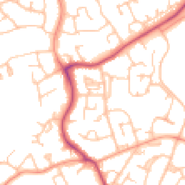
Daytime· 07:00 – 23:00
51.2dB

Night-time· 23:00 – 07:00
40.1dB