16 Baxter Street, Standish, Wigan, WN6 0DE
About 16 Baxter Street
16 Baxter Street is a property in Standish, Wigan, Wigan (WN6 0DE). It has council tax band A.
Untraded for 22 years, with the last transfer in October 2004.
Everything you need to know about 16 Baxter Street
The true value, the hidden risks and the full sale history, in one report.
Pick your report · every report is £14.99
One time fee only - money back guarantee

The data behind every report


Energy performance
No EPC on record
This property doesn't have an Energy Performance Certificate yet. An EPC is required to sell or let — and unlocks our automated valuation.
Get a survey for this property
Level 2 HomeBuyer Report
We've checked 10 risk factors against the available data for this property and believe a Level 2 HomeBuyer Report could be a suitable option for you.
Planning history
16 Baxter Street has no planning applications on record.
But the area is active
2 notable applications nearby — larger schemes and conversions that could reshape the street. The report maps them all.
Sales history & valuation
£84,800
Recorded with HM Land Registry.
Sales timeline
14 October 2004Most recent
£84,800
Median price across the last 5 sales in WN6 0DE: £154,000 (2025–2023).
Nearby sales in WN6 0DE
49 Baxter Street, Standish, Wigan, WN6 0DE
Sold Jun 2025
£154,00024 Baxter Street, Standish, Wigan, WN6 0DE
Sold Apr 2025
£145,00043 Baxter Street, Standish, Wigan, WN6 0DE
Sold Nov 2024
£168,00015 Baxter Street, Standish, Wigan, WN6 0DE
Sold Aug 2023
£152,0006 Baxter Street, Standish, Wigan, WN6 0DE
Sold Jul 2023
£155,000
Everything you need to know about 16 Baxter Street
The true value, the hidden risks and the full sale history, in one report.
Pick your report · every report is £14.99
One time fee only - money back guarantee
The data behind every report
Similar properties nearby
1 Adelphi Street, Standish
WN6 0NW
1 Beacon Road, Standish
WN6 0SB
1 Baxter Street, Standish
WN6 0DE
1 Ashurst Road, Standish
WN6 0SD
1 Boyd Close, Standish
WN6 0DU
1 Bessieswell Place, Standish
WN6 0DR
1 Bentham Place, Standish
WN6 0NB
1 Berystede Court, Wellington Place, Standish
WN6 0FG
The neighbourhood at a glance
Crime
1/mo
Steady year-on-year across the wider district.
Nearest stop
0.2 km
St Wilfrids Road — bus stop.
Closest school
0.2 km
Standish St Wilfrid's Church of England Primary Academy. 10 schools nearby.
Go deeper on the local area
A Local Area report breaks down crime, transport links, schools and air quality in depth.
Road noise across the postcode
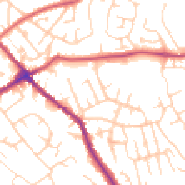
Daytime· 07:00 – 23:00
51.5dB

Night-time· 23:00 – 07:00
41.2dB