1 Bessieswell Place, Standish, Wigan, WN6 0DR
About 1 Bessieswell Place
1 Bessieswell Place is a mid-terrace house in Standish, Wigan, Wigan (WN6 0DR). It has a recorded floor area of 67 m² (around 721 sq ft), construction records dating it to 1950-1966 and council tax band A. At 67 m² this is the 2nd smallest of 7 units on EPC record in the building, where floor areas span 66–75 m². On EPC score it ranks last in the building (73 versus a best of 77). The latest certificate (October 2013) shows a C (score 73). The latest certificate is from October 2013, so improvements made since then won't be reflected.
Everything you need to know about 1 Bessieswell Place
The true value, the hidden risks and the full sale history, in one report.
Pick your report · every report is £14.99
One time fee only - money back guarantee

The data behind every report


Energy performance
1 Bessieswell Place's EPC is over a decade old — improvements since won't be reflected.
EPC Expired
This certificate is over 10 years old and is no longer valid.Expired 09 Oct 2023
EPC Rating
Get a survey for this property
Level 2 HomeBuyer Report
We've checked 10 risk factors against the available data for this property and believe a Level 2 HomeBuyer Report could be a suitable option for you.
From £495 · Includes VAT
Planning history
1 Bessieswell Place has no planning applications on record.
But the area is active
2 notable applications nearby — larger schemes and conversions that could reshape the street. The report maps them all.
Sales history & valuation
1 Bessieswell Place has no Land Registry sales on file, suggesting it has stayed in the same hands since registration began.
£126,000
Modelled from EPC, postcode comparables.
No sales recorded with HM Land Registry
That can mean the property has never traded since the registry began publishing in 1995, was a new build that hasn't been registered yet, or is held in the same hands long-term.
Versus other Bessieswell Place homes
EPC Rating for 1 Bessieswell Place lags the street by a wide margin.
EPC Rating
73 (C)
Street avg 75 (C)
Floor Area
67 m²
Street avg 69 m²
CO₂ Emissions
2.1 t/year
Street avg 2.0 t/year
Habitable Rooms
3 rooms
Street avg 3 rooms
Everything you need to know about 1 Bessieswell Place
The true value, the hidden risks and the full sale history, in one report.
Pick your report · every report is £14.99
One time fee only - money back guarantee
The data behind every report
Similar properties nearby
1 Bentham Place, Standish
WN6 0NB
1 Beacon Road, Standish
WN6 0SB
1 Adelphi Street, Standish
WN6 0NW
1 Baxter Street, Standish
WN6 0DE
1 Ashurst Road, Standish
WN6 0SD
1 Boyd Close, Standish
WN6 0DU
1 Berystede Court, Wellington Place, Standish
WN6 0FG
1 Bentham Road, Standish
WN6 0NE
The neighbourhood at a glance
Crime
1/mo
Steady year-on-year across the wider district.
Nearest stop
0.1 km
Grove Lane — bus stop.
Closest school
0.3 km
Standish St Wilfrid's Church of England Primary Academy. 11 schools nearby.
Go deeper on the local area
A Local Area report breaks down crime, transport links, schools and air quality in depth.
Road noise across the postcode
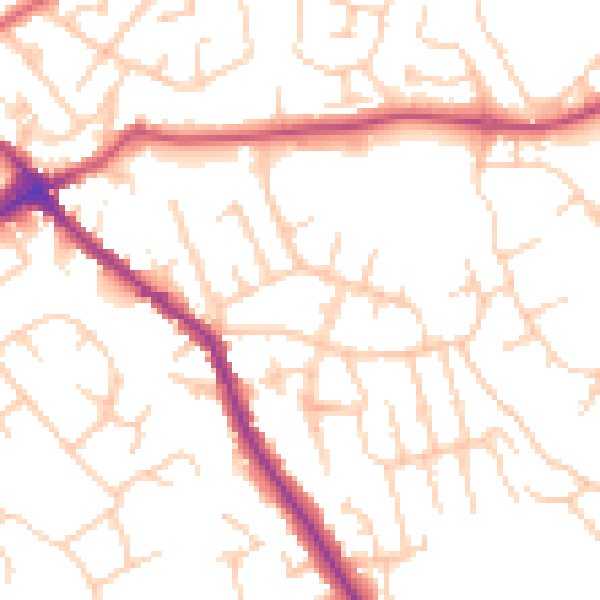
Daytime· 07:00 – 23:00
51.0dB

Night-time· 23:00 – 07:00
40.7dB