26 Mitchell Street, Wigan, WN5 9BY
About 26 Mitchell Street
26 Mitchell Street is a mid-terrace house in Wigan (WN5 9BY). It has a recorded floor area of 96 m² (around 1033 sq ft), construction records dating it to before 1900 and council tax band A. The latest certificate (December 2020) shows a D (score 65), on the cusp of jumping into the C band. The recommended improvements would lift it to B (score 88), a 2-band jump.
Today's modelled estimate of £154,000 sits 112.4% above the 2021 sale of £72,500. On a £-per-square-foot basis, the last sale (£70/sq ft) was about 29% below the postcode norm. Sold September 2021 for £72,500. That sale was during the post-pandemic price surge, when transactions cleared materially above pre-2020 trend.
Everything you need to know about 26 Mitchell Street
The true value, the hidden risks and the full sale history, in one report.
30-day money-back guarantee

The data behind every report


Energy performance
Recommended upgrades on file would lift this property by multiple EPC bands.
EPC Rating
Get a survey for this property
Level 3 Building Survey
Because the property was built before 1919, has been extended more than once, and has solid (non-cavity) walls, we believe a Level 3 building survey should be considered.
From £820 · Includes VAT
Planning history
26 Mitchell Street has no planning applications on record.
Notable planning nearby
25applications of note in the surrounding area
We flagged 2 things worth checking at 26 Mitchell Street
Independent checks surfaced things a buyer would want to understand before offering. The report explains each one in full, with the underlying data and what to ask.
- Signs of HMO activity in the area
- Larger development activity nearby
30-day money-back guarantee
Sales history & valuation
The latest sale landed in the post-pandemic price surge — useful context when reading the figure.
£154,000
Modelled from EPC, postcode comparables.
£72,500
Recorded with HM Land Registry.
Sales timeline
27 September 2021Most recent
£72,500
Median price across the last 5 sales in WN5 9BY: £160,000 (2025–2024).
Versus other Mitchell Street homes
Price per m² for 26 Mitchell Street lags the street by a wide margin.
Price per m²
£755
Street avg £1,306
Floor Area
96 m²
Street avg 90 m²
Habitable Rooms
5 rooms
Street avg 5 rooms
CO₂ Emissions
4.2 t/year
Street avg 4.3 t/year
Everything you need to know about 26 Mitchell Street
The true value, the hidden risks and the full sale history, in one report.
30-day money-back guarantee
The data behind every report
Similar properties nearby
The neighbourhood at a glance
Crime
2/mo
Steady year-on-year across the wider district.
Nearest stop
0.1 km
Heather Grove — bus stop.
Closest school
0.4 km
St Mark's CofE Primary School. 29 schools nearby.
Go deeper on the local area
The full report breaks down crime, transport links, schools and air quality in depth.
Road noise across the postcode
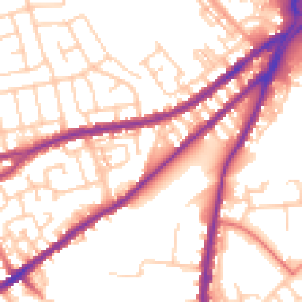
Daytime· 07:00 – 23:00
54.6dB

Night-time· 23:00 – 07:00
45.4dB