23 Beaford Close, Wigan, WN5 8LB
About 23 Beaford Close
23 Beaford Close is a three-bedroom detached house in Wigan (WN5 8LB). It has a recorded floor area of 75 m² (around 807 sq ft), construction records dating it to 1976-1982 and council tax band C. Tenure is freehold. The latest certificate (October 2023) shows a C (score 71). The recommended improvements would push it to B (score 85). Our model identifies extension potential, subject to local planning policy.
Today's modelled estimate of £214,000 is 22.3% above the 2024 sale price. Sold October 2024 for £175,000.
What this property has
Inside
- Bedrooms3
- Bathrooms1
Outside
- Private gardenRear
- GarageYes
Building
- TenureFreehold
- Extension potentialPossible
Everything you need to know about 23 Beaford Close
The true value, the hidden risks and the full sale history, in one report.
30-day money-back guarantee

The data behind every report


Energy performance
EPC Rating
Get a survey for this property
Level 2 HomeBuyer Report
We've checked 10 risk factors against the available data for this property and believe a Level 2 HomeBuyer Report could be a suitable option for you.
From £545 · Includes VAT
Planning history
23 Beaford Close has no planning applications on record.
Notable planning nearby
7applications of note in the surrounding area
We flagged 2 things worth checking at 23 Beaford Close
Independent checks surfaced things a buyer would want to understand before offering. The report explains each one in full, with the underlying data and what to ask.
- Signs of HMO activity in the area
- Larger development activity nearby
30-day money-back guarantee
Sales history & valuation
Latest sale on 23 Beaford Close was the highest on Land Registry record across the postcode.
£214,000
Modelled from EPC, postcode comparables.
£175,000
Recorded with HM Land Registry.
Sales timeline
3 October 2024Most recent
£175,000
Median price across the last 5 sales in WN5 8LB: £155,000 (2018–2002).
Everything you need to know about 23 Beaford Close
The true value, the hidden risks and the full sale history, in one report.
30-day money-back guarantee
The data behind every report
Similar properties nearby
1 Brindley Street
WN5 8ET
1 Croft Avenue, Orrell
WN5 8TW
1 Crantock Road
WN5 8AR
1 Coniston Avenue, Orrell
WN5 8PR
1 Cotswold Avenue
WN5 8JZ
1 Beechwood Crescent, Orrell
WN5 8NL
1 Cosgate Close, Orrell
WN5 8SG
1 Cambridge Road, Orrell
WN5 8PL
The neighbourhood at a glance
Crime
2/mo
Steady year-on-year across the wider district.
Nearest stop
0.2 km
White Street — bus stop.
Closest school
0.4 km
St John's CofE Primary School. 22 schools nearby.
Go deeper on the local area
The full report breaks down crime, transport links, schools and air quality in depth.
Road noise across the postcode
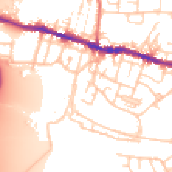
Daytime· 07:00 – 23:00
54.2dB

Night-time· 23:00 – 07:00
45.0dB