2 Chiswell Street, Wigan, WN5 8DW
About 2 Chiswell Street
2 Chiswell Street is a three-bedroom property in Wigan (WN5 8DW). It has council tax band B. Our model identifies extension potential, subject to local planning policy.
Untraded for 18 years, with the last transfer in May 2008. That sale landed at the peak of the pre-credit-crunch market, which is a useful reference point when interpreting the price.
What this property has
Inside
- Bedrooms3
- Dining roomYes
Outside
- Private gardenFront and rear
Building
- RefurbishedYes
- Extension potentialPossible
Everything you need to know about 2 Chiswell Street
The true value, the hidden risks and the full sale history, in one report.
30-day money-back guarantee

The data behind every report


Energy performance
No EPC on record
This property doesn't have an Energy Performance Certificate yet. An EPC is required to sell or let — and unlocks our automated valuation.
Get a survey for this property
Level 2 HomeBuyer Report
We've checked 10 risk factors against the available data for this property and believe a Level 2 HomeBuyer Report could be a suitable option for you.
Planning history
2 Chiswell Street has no planning applications on record.
Notable planning nearby
7applications of note in the surrounding area
We flagged 2 things worth checking at 2 Chiswell Street
Independent checks surfaced things a buyer would want to understand before offering. The report explains each one in full, with the underlying data and what to ask.
- Signs of HMO activity in the area
- Larger development activity nearby
30-day money-back guarantee
Sales history & valuation
The latest sale landed at the peak of the pre-credit-crunch market — a high-water reference point.
£107,000
Recorded with HM Land Registry.
Sales timeline
29 May 2008Most recent
£107,000
Median price across the last 5 sales in WN5 8DW: £124,000 (2023–2017).
Everything you need to know about 2 Chiswell Street
The true value, the hidden risks and the full sale history, in one report.
30-day money-back guarantee
The data behind every report
Similar properties nearby
1 Crantock Road
WN5 8AR
1 Croft Avenue, Orrell
WN5 8TW
1 Brindley Street
WN5 8ET
1 Beechwood Crescent, Orrell
WN5 8NL
1 Coniston Avenue, Orrell
WN5 8PR
1 Cotswold Avenue
WN5 8JZ
1 Cosgate Close, Orrell
WN5 8SG
1 3, Flat, St James Road, Orrell
WN5 8SS
The neighbourhood at a glance
Rail-style transport is unusually close for this postcode.
Crime
2/mo
Steady year-on-year across the wider district.
Nearest stop
0.2 km
Millbeck Crescent — bus stop.
Closest school
0.2 km
Highfield St Matthew's Church of England Primary School. 24 schools nearby.
Go deeper on the local area
The full report breaks down crime, transport links, schools and air quality in depth.
Road noise across the postcode
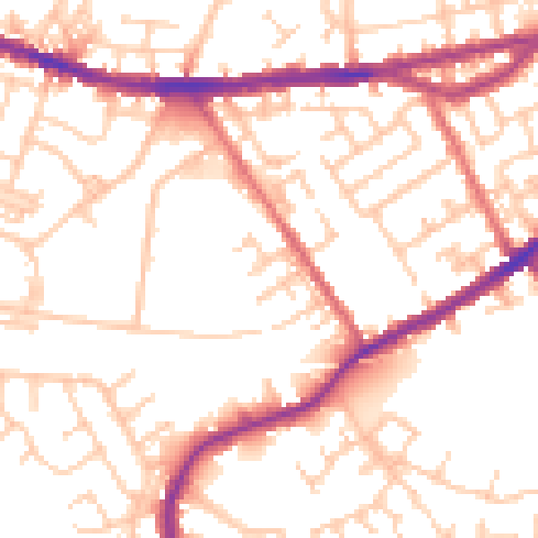
Daytime· 07:00 – 23:00
53.5dB

Night-time· 23:00 – 07:00
43.3dB