15 More Street, Wigan, WN5 0AS
About 15 More Street
15 More Street is a detached house in Wigan (WN5 0AS). It has a recorded floor area of 91 m² (around 980 sq ft). The latest certificate (March 2014) returns a B (score 82), comfortably above the UK average. The latest certificate is from March 2014, so improvements made since then won't be reflected.
At 91 m² the property is well over the postcode median (69 m² across 40 EPCs), placing it in the larger end of the local stock. One planning record on file: an extension approved in 2024. Past consents include an extension and a porch, meaningful when judging how the property has evolved. 12 years since the last transfer (May 2014). Today's modelled estimate of £231,000 is 40% above the 2014 sale price.
Everything you need to know about 15 More Street
The true value, the hidden risks and the full sale history, in one report.
30-day money-back guarantee

The data behind every report


Energy performance
15 More Street's EPC is over a decade old — improvements since won't be reflected.
EPC Expired
This certificate is over 10 years old and is no longer valid.Expired 26 Mar 2024
EPC Rating
Get a survey for this property
Level 2 HomeBuyer Report
We've checked 10 risk factors against the available data for this property and believe a Level 2 HomeBuyer Report could be a suitable option for you.
From £545 · Includes VAT
Planning history
- Jan 2024PorchFullIn report
Extension: Two storey · Side of property
Two storey extension to side and installation of porch to front together with associated external alterations
Extension- Documents
- 9 docs on file
- Reference
- A/23/96304/HH
We flagged 2 things worth checking at 15 More Street
Independent checks surfaced things a buyer would want to understand before offering. The report explains each one in full, with the underlying data and what to ask.
- Signs of HMO activity in the area
- Larger development activity nearby
30-day money-back guarantee
Sales history & valuation
15 More Street valuation sits well clear of the typical sold price in this postcode.
£231,000
Modelled from EPC, postcode comparables.
£164,995
Recorded with HM Land Registry.
Sales timeline
22 May 2014Most recent
£164,995
Median price across the last 5 sales in WN5 0AS: £160,000 (2025–2022).
Versus other More Street homes
On floor area, 15 More Street stands well clear of the street.
Price per m²
£1,813
Street avg £1,951
Floor Area
91 m²
Street avg 71 m²
CO₂ Emissions
1.6 t/year
Street avg 1.4 t/year
Years Held
12 years
Street avg 9 years
Everything you need to know about 15 More Street
The true value, the hidden risks and the full sale history, in one report.
30-day money-back guarantee
The data behind every report
Similar properties nearby
The neighbourhood at a glance
Crime
2/mo
Steady year-on-year across the wider district.
Nearest stop
0.1 km
St Mark's Avenue — bus stop.
Closest school
0.4 km
St Mark's CofE Primary School. 31 schools nearby.
Go deeper on the local area
The full report breaks down crime, transport links, schools and air quality in depth.
Road noise across the postcode
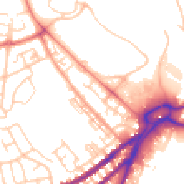
Daytime· 07:00 – 23:00
53.3dB

Night-time· 23:00 – 07:00
43.7dB