22 Loch Street, Orrell, Wigan, WN5 0AF
About 22 Loch Street
22 Loch Street is a property in Orrell, Wigan, Wigan (WN5 0AF). It has council tax band A.
Untraded for 21 years, with the last transfer in March 2005. Across the public record there are 6 sales, relatively high churn for a single property. Across 1998–2005, sale prices on this property compounded at 14.8% per year.
Everything you need to know about 22 Loch Street
The true value, the hidden risks and the full sale history, in one report.
30-day money-back guarantee

The data behind every report


Energy performance
No EPC on record
This property doesn't have an Energy Performance Certificate yet. An EPC is required to sell or let — and unlocks our automated valuation.
Get a survey for this property
Level 2 HomeBuyer Report
We've checked 10 risk factors against the available data for this property and believe a Level 2 HomeBuyer Report could be a suitable option for you.
Planning history
22 Loch Street has no planning applications on record.
Notable planning nearby
9applications of note in the surrounding area
We flagged 2 things worth checking at 22 Loch Street
Independent checks surfaced things a buyer would want to understand before offering. The report explains each one in full, with the underlying data and what to ask.
- Signs of HMO activity in the area
- Larger development activity nearby
30-day money-back guarantee
Sales history & valuation
22 Loch Street has more than doubled in price since the earliest registered sale in 1998.
£51,000
Growth on file: 14.8% per year over 6 years.
Sales timeline
4 March 2005Most recent
£51,000
-7.3%over 9 months31 May 2004
£55,000
+22.2%5 March 2004
£45,000
+36.4%over 2 years26 September 2001
£33,000
+57.1%6 September 2001
£21,000
24 September 1998
£21,000
Median price across the last 5 sales in WN5 0AF: £83,000 (2024–2021).
Nearby sales in WN5 0AF
Everything you need to know about 22 Loch Street
The true value, the hidden risks and the full sale history, in one report.
30-day money-back guarantee
The data behind every report
Similar properties nearby
The neighbourhood at a glance
Crime
2/mo
Steady year-on-year across the wider district.
Nearest stop
0.1 km
Methodist Church — bus stop.
Closest school
0.1 km
St John's CofE Primary School. 24 schools nearby.
Go deeper on the local area
The full report breaks down crime, transport links, schools and air quality in depth.
Road noise across the postcode
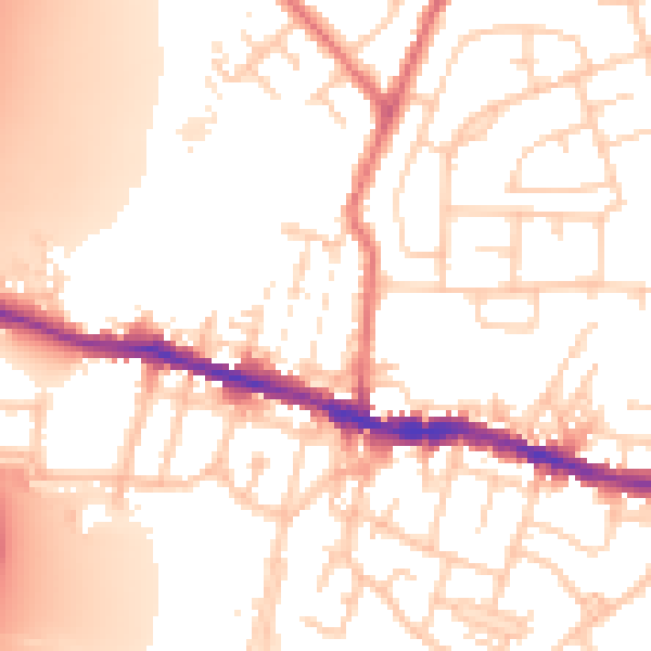
Daytime· 07:00 – 23:00
54.2dB

Night-time· 23:00 – 07:00
44.4dB