3 Crabtree Cottages, Lee Lane, Abram, Wigan, WN2 5QS
About 3 Crabtree Cottages
3 Crabtree Cottages is a five-bedroom end-of-terrace house in Abram, Wigan, Wigan (WN2 5QS). It has a recorded floor area of 118 m² (around 1270 sq ft), construction records dating it to before 1900 and council tax band A. The latest certificate (May 2016) shows a D (score 60), on the cusp of jumping into the C band. The recommended improvements would lift it to B (score 81), a 2-band jump. The latest certificate is from May 2016, so improvements made since then won't be reflected. Other recorded features include outbuildings.
Today's modelled estimate of £340,000 sits 54.5% above the 2016 sale of £220,000. 2 planning records sit against the property, 2 approved, 0 refused. Past consents include an extension and partial demolition, meaningful when judging how the property has evolved. Last sold in November 2016, so it's been off the market for around 10 years. 5 bedrooms is on the larger side for this postcode, where 3 is the typical count.
What this property has
Inside
- Bedrooms5
- Bathrooms2
Outside
- Private gardenYes
- OutbuildingsYes
Everything you need to know about 3 Crabtree Cottages
The true value, the hidden risks and the full sale history, in one report.
Pick your report · every report is £14.99
One time fee only - money back guarantee

The data behind every report


Energy performance
Recommended upgrades on file would lift this property by multiple EPC bands.
EPC Expired
This certificate is over 10 years old and is no longer valid.Expired 25 May 2026
EPC Rating
Get a survey for this property
Level 3 Building Survey
Because the property was built before 1919, has been extended more than once, and has solid (non-cavity) walls, we believe a Level 3 building survey should be considered.
From £955 · Includes VAT
Planning history
Planning history includes recorded demolition works, indicating a major rebuild phase at this address.
2 applications on record at 3 Crabtree Cottages, Lee Lane, Abram, Wigan, WN2 5QS
- Jul 2004OutbuildingFullOutcome in report
Erection of detached garage together with 1.5m chimney stack.
- Documents
- 2 docs on file
- Reference
- A/04/61044
- More recent applications — locked
- DemolitionDec 2008Decision
Unlock 3 Crabtree Cottages, Lee Lane, Abram, Wigan, WN2 5QS's full planning history
You're seeing the shape of it. The report has the substance.
- Every decision — granted, refused or withdrawn (2 on record)
- All 2 applications on this property in full, plus 8 notable nearby
- The 8 documents, officer reports & conditions
- What the pattern means for extending or converting here
One time fee only - money back guarantee
Sales history & valuation
3 Crabtree Cottages valuation sits well clear of the typical sold price in this postcode.
£340,000
Modelled from EPC, postcode comparables.
£220,000
Recorded with HM Land Registry.
Sales timeline
2 November 2016Most recent
£220,000
Median price across the last 4 sales in WN2 5QS: £140,000 (2021–1999).
Everything you need to know about 3 Crabtree Cottages
The true value, the hidden risks and the full sale history, in one report.
Pick your report · every report is £14.99
One time fee only - money back guarantee
The data behind every report
Similar properties nearby
1 Coverdale Close, Platt Bridge
WN2 5EN
1 Ashwood Avenue, Abram
WN2 5YE
1 Crabtree Cottages, Lee Lane, Abram
WN2 5QS
1 Ansford Avenue, Abram
WN2 5PQ
1 Byron Close, Abram
WN2 5PY
1 Brock Place, Platt Bridge
WN2 5FJ
1 Croal Avenue, Platt Bridge
WN2 5EY
1 Bryn Hall Cottages, Bryn Gates Lane, Bamfurlong
WN2 5JY
The neighbourhood at a glance
Daytime road noise here sits well below conversation level — a quiet pocket of the postcode.
Nearest stop
0.4 km
Abram Council Offices — bus stop.
Closest school
0.5 km
St John's Church of England Primary School, Abram. 11 schools nearby.
Go deeper on the local area
A Local Area report breaks down crime, transport links, schools and air quality in depth.
Road noise across the postcode
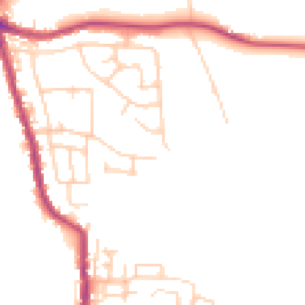
Daytime· 07:00 – 23:00
47.8dB

Night-time· 23:00 – 07:00
39.9dB