6 Caernarvon Road, Hindley Green, Wigan, WN2 4NE
About 6 Caernarvon Road
6 Caernarvon Road is a property in Hindley Green, Wigan, Wigan (WN2 4NE). It has council tax band B.
Energy performance
No EPC on record
This property doesn't have an Energy Performance Certificate yet. An EPC is required to sell or let — and unlocks our automated valuation.
Get a survey for this property
Level 2 HomeBuyer Report
We've checked 10 risk factors against the available data for this property and believe a Level 2 HomeBuyer Report could be a suitable option for you.
Planning history
No planning applications are recorded against 6 Caernarvon Road, Hindley Green, Wigan, WN2 4NE. The full report also covers planning activity across the surrounding area.
Sales history & valuation
No sales recorded with HM Land Registry
That can mean the property has never traded since the registry began publishing in 1995, was a new build that hasn't been registered yet, or is held in the same hands long-term.
Median price across the last 5 sales in WN2 4NE: £55,995 (2022–1996).
Similar properties nearby
1 2 Longfield Bungalows, Leigh Road, Hindley Green
WN2 4XF
1 Acreswood Avenue, Hindley Green
WN2 4NJ
1 Alderley Road, Hindley
WN2 4JY
1 Alders Green Road, Hindley
WN2 4LA
1 Arnside Road, Hindley Green
WN2 4LB
1 Ashbourne Avenue, Hindley
WN2 4JQ
1 Ashdale Road, Hindley Green
WN2 4PB
1 Ashley Road, Hindley Green
WN2 4HG
The neighbourhood at a glance
Daytime road noise here sits well below conversation level — a quiet pocket of the postcode.
Nearest stop
0.1 km
Long Lane — bus stop.
Closest school
0.5 km
St John's Church of England Primary School, Hindley Green. 21 schools nearby.
Road noise across the postcode
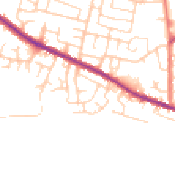
Daytime· 07:00 – 23:00
48.2dB

Night-time· 23:00 – 07:00
39.2dB