26a, Wigan Road, Aspull, Wigan, WN2 1DH
About 26a
26a is a semi-detached house in Aspull, Wigan, Wigan (WN2 1DH). It has a recorded floor area of 133 m² (around 1432 sq ft), construction records dating it to before 1900 and council tax band C. The latest certificate (June 2015) shows an F (score 37), near the bottom of the EPC scale. Earlier certificates rated it E (June 2015); the latest reading is one band lower. Between certificates, wall efficiency dropped from Good to Very Poor. The recommended improvements would lift it to D (score 64), a 2-band jump. The latest certificate is from June 2015, so improvements made since then won't be reflected.
Everything you need to know about 26a
The true value, the hidden risks and the full sale history, in one report.
Pick your report · every report is £14.99
One time fee only - money back guarantee

The data behind every report


Energy performance
26a's carbon output runs well above what efficient homes in the postcode produce.
EPC Expired
This certificate is over 10 years old and is no longer valid.Expired 18 Jun 2025
EPC Rating
Get a survey for this property
Level 3 Building Survey
Because the property was built before 1919, we believe a Level 3 building survey should be considered.
From £885 · Includes VAT
Planning history
26a has no planning applications on record.
But the area is active
5 notable applications nearby — larger schemes and conversions that could reshape the street. The report maps them all.
Sales history & valuation
26a has no Land Registry sales on file, suggesting it has stayed in the same hands since registration began.
£243,000
Modelled from EPC, postcode comparables.
No sales recorded with HM Land Registry
That can mean the property has never traded since the registry began publishing in 1995, was a new build that hasn't been registered yet, or is held in the same hands long-term.
Median price across the last 1 sales in WN2 1DH: £96,000 (1998–1998).
Nearby sales in WN2 1DH
Everything you need to know about 26a
The true value, the hidden risks and the full sale history, in one report.
Pick your report · every report is £14.99
One time fee only - money back guarantee
The data behind every report
Similar properties nearby
1 Ashfield Drive, Aspull
WN2 1XL
1 Barley Close, Aspull
WN2 1BZ
1 Bradley Gardens, Aspull
WN2 1BS
1 Caldford Close, Aspull
WN2 1ZB
1 Belmont Drive, Aspull
WN2 1YZ
1 Bamford Drive
WN2 1AW
1 Alnwick Close, Aspull
WN2 1XR
1 Alberton Close, Aspull
WN2 1ZE
The neighbourhood at a glance
Daytime road noise here sits well below conversation level — a quiet pocket of the postcode.
Nearest stop
0.1 km
Kirkwood Close — bus stop.
Closest school
0.1 km
Holy Family Catholic Primary School, New Springs, Wigan. 19 schools nearby.
Go deeper on the local area
A Local Area report breaks down crime, transport links, schools and air quality in depth.
Road noise across the postcode
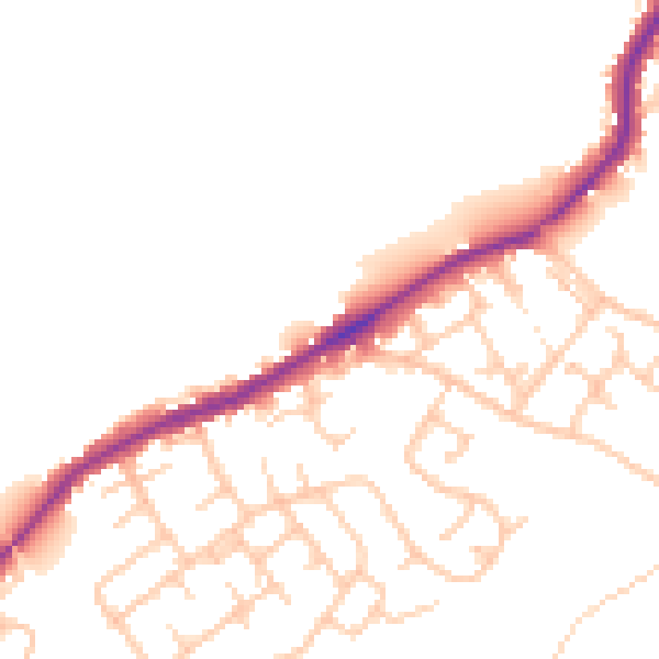
Daytime· 07:00 – 23:00
48.6dB

Night-time· 23:00 – 07:00
41.1dB