76 High Street, Heckmondwike, WF16 0AJ
About 76 High Street
76 High Street is a three-bedroom detached house in Heckmondwike (WF16 0AJ). It has a recorded floor area of 86 m² (around 926 sq ft), construction records dating it to 1967-1975 and council tax band C. The latest certificate (June 2019) shows a D (score 63), on the cusp of jumping into the C band. The recommended improvements would push it to C (score 78). Records show the property has been extended at some point in its history.
Today's modelled estimate of £259,000 is 43.9% above the 2020 sale price. On a £-per-square-foot basis, the last sale (£194/sq ft) was about 160.8% above the typical sold price in the postcode. Last sale on file: £180,000 in June 2020.
Know exactly what you're buying at 76 High Street
Before you offer, see what the listing won't tell you, the true value, the red flags and the full history.
Valuation
against the asking price
Risks
planning & flood
Sold prices
similar homes nearby
Trends
the local market
What this property has
Inside
- Bedrooms3
- Bathrooms1
- Dining roomYes
Outside
- GarageYes
Building
- Central heatingYes
- Previously extendedYes
- RefurbishedYes
Energy performance
EPC Rating
Planning history
76 High Street has no planning applications on record.
Notable planning nearby
3applications of note in the surrounding area
Sales history & valuation
The latest sale landed in the post-pandemic price surge — useful context when reading the figure.
£259,000
Modelled from EPC, postcode comparables.
£180,000
Recorded with HM Land Registry.
Sales timeline
9 June 2020Most recent
£180,000
Median price across the last 5 sales in WF16 0AJ: £72,500 (2024–2016).
Nearby sales in WF16 0AJ
Everything we know about 76 High Street, in one report
What it's really worth, what could be wrong, and the planning, sales and area data in full.
- Am I paying too much?
- Is something wrong with it?
- Is the agent's story true?
- Will it hold its value?

Versus other High Street homes
Price per m² for 76 High Street runs comfortably ahead of the street norm.
Price per m²
£2,093
Street avg £1,017
Floor Area
86 m²
Street avg 78 m²
Habitable Rooms
5 rooms
Street avg 4 rooms
CO₂ Emissions
4.1 t/year
Street avg 3.8 t/year
Similar properties nearby
The neighbourhood at a glance
Crime
2/mo
Steady year-on-year across the wider district.
Nearest stop
0.1 km
Chapel Lane — bus stop.
Closest school
0.1 km
Heckmondwike Primary Academy. 39 schools nearby.
Go deeper on the local area
The full report breaks down crime, transport links, schools and air quality in depth.
Road noise across the postcode
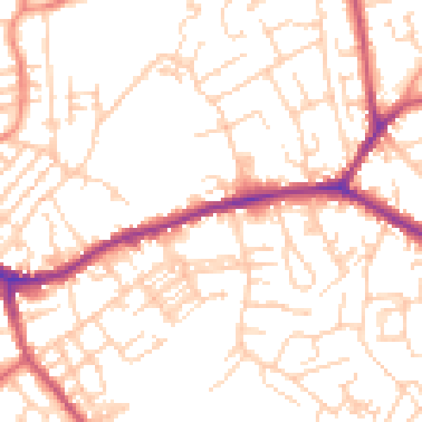
Daytime· 07:00 – 23:00
52.0dB

Night-time· 23:00 – 07:00
41.2dB