3a, Arundel Drive, Borehamwood, WD6 2LE
About 3a
3a is a three-bedroom semi-detached house in Borehamwood (WD6 2LE). It has a recorded floor area of 83 m² (around 893 sq ft), construction records dating it to 1976-1982 and council tax band E. The latest certificate (November 2013) shows a D (score 61), on the cusp of jumping into the C band. The recommended improvements would lift it to B (score 89), a 2-band jump. The latest certificate is from November 2013, so improvements made since then won't be reflected.
It hasn't traded since February 1997, a hold of 29 years that's notably long for the area. Only one transfer is on record with HM Land Registry, suggesting it has stayed in the same hands for a long time. Today's modelled estimate of £462,000 sits 402.2% above the 1997 sale of £92,000. On a £-per-square-foot basis, the last sale (£103/sq ft) was about 69.4% below the postcode norm.
Know exactly what you're buying at 3a
Before you offer, see what the listing won't tell you, the true value, the red flags and the full history.
Valuation
against the asking price
Risks
planning & flood
Sold prices
similar homes nearby
Trends
the local market
What this property has
Inside
- Bedrooms3
Energy performance
Recommended upgrades on file would lift this property by multiple EPC bands.
EPC Expired
This certificate is over 10 years old and is no longer valid.Expired 14 Nov 2023
EPC Rating
Planning history
3a has no planning applications on record.
Notable planning nearby
3applications of note in the surrounding area
Sales history & valuation
3a's modelled value sits at over four times its earliest registered sale price (1997).
£462,000
Modelled from EPC, postcode comparables.
£92,000
Recorded with HM Land Registry.
Sales timeline
28 February 1997Most recent
£92,000
Median price across the last 5 sales in WD6 2LE: £450,000 (2025–2022).
Nearby sales in WD6 2LE
Everything we know about 3a, in one report
What it's really worth, what could be wrong, and the planning, sales and area data in full.
- Am I paying too much?
- Is something wrong with it?
- Is the agent's story true?
- Will it hold its value?

Versus other Arundel Drive homes
Price per m² for 3a lags the street by a wide margin.
Price per m²
£1,108
Street avg £4,712
Floor Area
83 m²
Street avg 84 m²
Habitable Rooms
4 rooms
Street avg 4 rooms
CO₂ Emissions
3.8 t/year
Street avg 3.7 t/year
Similar properties nearby
1 Dunnock Close
WD6 2EL
1 Carlton Close
WD6 2QR
1 Coleridge Way
WD6 2AE
1 Byron Avenue
WD6 2BN
1 Carrington Close
WD6 2HB
1 Dales Path, Farriers Way
WD6 2SF
1 Dales Road
WD6 2SG
1 Furzehill Road
WD6 2DG
The neighbourhood at a glance
Daytime road noise here sits well below conversation level — a quiet pocket of the postcode.
Crime
4/mo
Steady year-on-year across the wider district.
Nearest stop
0.0 km
Oak Farm — bus stop.
Closest school
0.2 km
Summerswood Primary School. 19 schools nearby.
Go deeper on the local area
The full report breaks down crime, transport links, schools and air quality in depth.
Road noise across the postcode
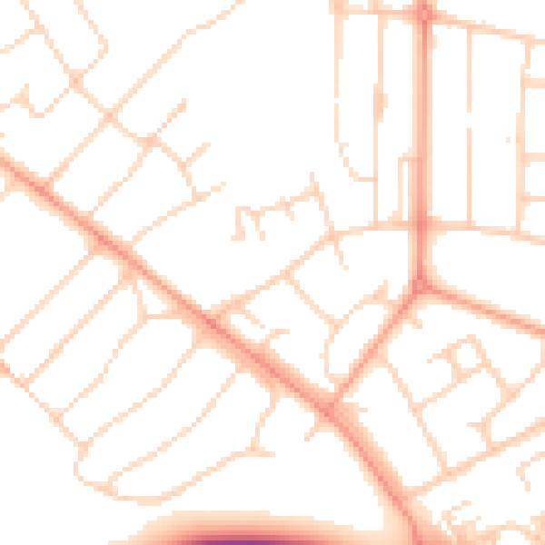
Daytime· 07:00 – 23:00
49.7dB

Night-time· 23:00 – 07:00
39.5dB