19 Arundel Drive, Borehamwood, WD6 2LE
About 19 Arundel Drive
19 Arundel Drive is a two-bedroom mid-terrace house in Borehamwood (WD6 2LE). It has a recorded floor area of 86 m² (around 926 sq ft), construction records dating it to 1950-1966 and council tax band D. The latest certificate (January 2023) shows a C (score 72). The rating has held steady at C across 2 certificates since July 2012. Between certificates, window efficiency went from Poor to Average and lighting went from Good to Very Good; while wall efficiency dropped from Good to Average and roof efficiency dropped from Good to Average. The recommended improvements would push it to B (score 84). Our model identifies extension potential, subject to local planning policy.
It changed hands recently, sold September 2025 for £435,000. 2 planning records sit against the property, 2 approved, 0 refused. Past consents include an extension and a porch, meaningful when judging how the property has evolved. Its energy rating outperforms most of the postcode (better than 80% of similar EPCs). Across 1999–2025, sale prices on this property compounded at 6.7% per year. On a £-per-square-foot basis, the last sale (£470/sq ft) was about 43.5% above the typical sold price in the postcode.
Know exactly what you're buying at 19 Arundel Drive
Before you offer, see what the listing won't tell you, the true value, the red flags and the full history.
Valuation
against the asking price
Risks
planning & flood
Sold prices
similar homes nearby
Trends
the local market
What this property has
Inside
- Bedrooms2
- Bathrooms1
Outside
- Private gardenRear
- DrivewayYes
Building
- Extension potentialPossible
Energy performance
EPC Rating
Property Improvements
Changes detected from historical EPC data
Heating controls changed
Windows upgraded, improving insulation
More low energy lighting installed
Planning history
19 Arundel Drive has an approved front extension on the planning record.
- Apr 2013PorchFullIn report
Extension: Front of property
Proposed pitched roof canopy across the front of the property over the existing front door and bay window.
- Agent
- Plans 4 Planning
Extension- Documents
- 6 docs on file
- Reference
- TP/13/0556
- Feb 2013RenovationOutlineIn report
To construct a tiled pitched roof over front of house above bay window & front door (Certificate of Lawful Development - Proposed).
- Agent
- Dsa Building Services
- Documents
- 7 docs on file
- Reference
- TP/12/2337
What's in 19 Arundel Drive, Borehamwood, WD6 2LE's planning history?
Refusals, disputes and full decisions on this property and nearby, in the report.
Sales history & valuation
Price for 19 Arundel Drive has grown more than fourfold since the 1999 starting point.
£465,000
Modelled from EPC, postcode comparables and a sale-price growth of 6.7% per year over 26 years.
£435,000
Growth on file: 6.7% per year over 26 years.
Sales timeline
4 September 2025Most recent
£435,000
+10.1%over 5 years31 January 2020
£395,000
9 June 2016
£395,000
+83.7%over 3 years30 July 2012
£215,000
+165.4%over 12 years26 August 1999
£81,000
Median price across the last 5 sales in WD6 2LE: £450,000 (2025–2021).
Nearby sales in WD6 2LE
Everything we know about 19 Arundel Drive, in one report
What it's really worth, what could be wrong, and the planning, sales and area data in full.
- Am I paying too much?
- Is something wrong with it?
- Is the agent's story true?
- Will it hold its value?

Versus other Arundel Drive homes
On years held, 19 Arundel Drive runs well behind the street norm.
Price per m²
£5,058
Street avg £4,479
Floor Area
86 m²
Street avg 84 m²
Habitable Rooms
4 rooms
Street avg 4 rooms
CO₂ Emissions
2.9 t/year
Street avg 3.7 t/year
Similar properties nearby
1 Byron Avenue
WD6 2BN
1 Dales Path, Farriers Way
WD6 2SF
1 Furzehill Road
WD6 2DG
1 Dunnock Close
WD6 2EL
1 Carlton Close
WD6 2QR
1 Coleridge Way
WD6 2AE
1 Dacre Gardens
WD6 2JR
1 Carrington Close
WD6 2HB
The neighbourhood at a glance
Daytime road noise here sits well below conversation level — a quiet pocket of the postcode.
Crime
4/mo
Steady year-on-year across the wider district.
Nearest stop
0.0 km
Oak Farm — bus stop.
Closest school
0.2 km
Summerswood Primary School. 19 schools nearby.
Go deeper on the local area
The full report breaks down crime, transport links, schools and air quality in depth.
Road noise across the postcode
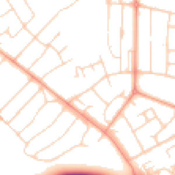
Daytime· 07:00 – 23:00
49.7dB

Night-time· 23:00 – 07:00
39.5dB