9 Highfield Way, Rickmansworth, WD3 7PP
About 9 Highfield Way
9 Highfield Way is a five-bedroom semi-detached house in Rickmansworth (WD3 7PP). It has a recorded floor area of 174 m² (around 1873 sq ft), construction records dating it to 1930-1949 and council tax band F. The latest certificate (December 2021) shows an E (score 54), well below the UK norm with real room to improve. Earlier certificates rated it D (June 2013); the latest reading is one band lower. Between certificates, wall efficiency went from Very Poor to Very Good, roof efficiency went from Average to Good and hot-water efficiency went from Good to Very Good. The recommended improvements would lift it to C (score 79), a 2-band jump.
2 planning records sit against the property, 2 approved, 0 refused. Past consents include an extension and a garage conversion, meaningful when judging how the property has evolved. At 174 m² it's 16.8% larger than the typical home in the postcode (149 m² median across 21 EPCs). Across 2000–2022, sale prices on this property compounded at 6.4% per year. On a £-per-square-foot basis, the last sale (£598/sq ft) was about 72.3% above the typical sold price in the postcode. Last sale on file: £1,120,000 in April 2022. That sale was during the post-pandemic price surge, when transactions cleared materially above pre-2020 trend.
Know exactly what you're buying at 9 Highfield Way
Before you offer, see what the listing won't tell you, the true value, the red flags and the full history.
Already flagged here
Valuation
against the asking price
Risks
planning & flood
Sold prices
similar homes nearby
Trends
the local market
What this property has
Inside
- Bedrooms5
- Bathrooms2
- Dining roomYes
- StudyYes
- FireplaceYes
Outside
- DrivewayYes
Building
- RefurbishedYes
Energy performance
9 Highfield Way's carbon output runs well above what efficient homes in the postcode produce.
EPC Rating
Property Improvements
Changes detected from historical EPC data
Heating controls upgraded for better temperature management
Hot water system upgraded
Cavity wall insulation installed
Roof insulation improved
Solar water heating installed
Planning history
9 Highfield Way has an approved single-storey front extension on the planning record.
- Oct 2016ExtensionFullIn report
Extension: Single storey · Front of property
First floor front dormer extension
- Documents
- 15 docs on file
- Reference
- 16/1692/FUL
- Apr 2014Garage ConversionFullIn report
Extension: Single storey · Rear of property
Single storey rear extension, conversion of garage into habitable accommodation and alterations to fenestration
Extension- Documents
- 12 docs on file
- Reference
- 14/0332/FUL
We flagged 1 thing worth checking at 9 Highfield Way
Independent checks surfaced things a buyer would want to understand before offering. The report explains each one in full, with the underlying data and what to ask.
- Larger development activity nearby
30-day money-back guarantee
Sales history & valuation
9 Highfield Way has more than tripled in price since its earliest registered sale in 2000.
£1,161,000
Modelled from EPC, postcode comparables and a sale-price growth of 6.4% per year over 22 years.
£1,120,000
Growth on file: 6.4% per year over 22 years.
Sales timeline
6 April 2022Most recent
£1,120,000
+94.8%over 8 years26 November 2013
£575,000
+94.9%over 13 years28 September 2000
£295,000
Median price across the last 5 sales in WD3 7PP: £1,100,000 (2024–2018).
Nearby sales in WD3 7PP
5 Highfield Way, Rickmansworth, WD3 7PP
Sold Aug 2024
£1,040,00015 Highfield Way, Rickmansworth, WD3 7PP
Sold Oct 2021
£1,285,00069a, Highfield Way, Rickmansworth, WD3 7PP
Sold Sept 2021
£1,130,00059 Highfield Way, Rickmansworth, WD3 7PP
Sold Apr 2019
£1,100,00041 Highfield Way, Rickmansworth, WD3 7PP
Sold Dec 2018
£955,000
Everything we know about 9 Highfield Way, in one report
What it's really worth, what could be wrong, and the planning, sales and area data in full.
What we flagged
- Larger development activity nearby

Versus other Highfield Way homes
CO₂ Emissions for 9 Highfield Way lags the street by a wide margin.
Price per m²
£6,437
Street avg £5,531
Floor Area
174 m²
Street avg 153 m²
Habitable Rooms
8 rooms
Street avg 7 rooms
CO₂ Emissions
9.0 t/year
Street avg 6.6 t/year
Similar properties nearby
The neighbourhood at a glance
Rail-style transport is unusually close for this postcode.
Crime
8/mo
Steady year-on-year across the wider district.
Nearest stop
0.6 km
Cemetery — bus stop.
Closest school
0.8 km
Arnett Hills Junior Mixed and Infant School. 13 schools nearby.
Go deeper on the local area
The full report breaks down crime, transport links, schools and air quality in depth.
Road noise across the postcode
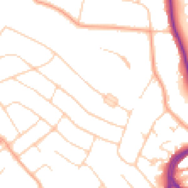
Daytime· 07:00 – 23:00
49.6dB

Night-time· 23:00 – 07:00
39.8dB