41 Highfield Way, Rickmansworth, WD3 7PP
About 41 Highfield Way
41 Highfield Way is a four-bedroom detached house in Rickmansworth (WD3 7PP). It has a recorded floor area of 122 m² (around 1313 sq ft), construction records dating it to 1950-1966 and council tax band G. The latest certificate (June 2018) shows a D (score 62), on the cusp of jumping into the C band. When first surveyed in October 2015 the rating was E, the property has climbed 1 band since. Between certificates, wall efficiency went from Poor to Average. The recommended improvements would lift it to B (score 81), a 2-band jump. Our model identifies extension potential, subject to local planning policy.
2 planning records sit against the property, 2 approved, 0 refused. Past consents include an extension, meaningful when judging how the property has evolved. Across 2001–2018, sale prices on this property compounded at 5.6% per year. Today's modelled estimate of £1,086,000 is 13.7% above the 2018 sale price. On a £-per-square-foot basis, the last sale (£727/sq ft) was about 111.5% above the typical sold price in the postcode. At 122 m² it's 18.7% smaller than the typical home in the postcode (150 m² median across 21 EPCs). Sold December 2018 for £955,000.
Know exactly what you're buying at 41 Highfield Way
Before you offer, see what the listing won't tell you, the true value, the red flags and the full history.
Already flagged here
Valuation
against the asking price
Risks
planning & flood
Sold prices
similar homes nearby
Trends
the local market
What this property has
Inside
- Bedrooms4
- Open-plan layoutYes
- Dining roomYes
- CloakroomYes
- EnsuiteYes
Outside
- Private gardenSouth-facing
- GarageYes
Building
- Extension potentialPossible
Energy performance
Recommended upgrades on file would lift this property by multiple EPC bands.
EPC Rating
Property Improvements
Changes detected from historical EPC data
Heating controls upgraded for better temperature management
Cavity wall insulation installed
Ventilation system changed
Planning history
- Mar 2023ExtensionFullIn report
Extension: Part single, part two storey · Rear of property
Construction of part single, part two storey rear extension; garage extension linking to main dwelling; replacement of rear window with door and erection of new rear window with associated internal alterations
- Documents
- 20 docs on file
- Reference
- 23/0199/FUL
- Nov 2022ExtensionFullIn report
Extension: Part single, part two storey · Side and rear of property
Part single-storey, part two-storey side and rear extensions, associated internal alternations and alterations to fenestration
- Documents
- 20 docs on file
- Reference
- 22/1684/FUL
We flagged 1 thing worth checking at 41 Highfield Way
Independent checks surfaced things a buyer would want to understand before offering. The report explains each one in full, with the underlying data and what to ask.
- Larger development activity nearby
30-day money-back guarantee
Sales history & valuation
41 Highfield Way has more than doubled in price since the earliest registered sale in 2001.
£1,086,000
Modelled from EPC, postcode comparables and a sale-price growth of 5.6% per year over 18 years.
£955,000
Growth on file: 5.6% per year over 18 years.
Sales timeline
10 December 2018Most recent
£955,000
+165.3%over 17 years5 January 2001
£360,000
Median price across the last 5 sales in WD3 7PP: £1,120,000 (2024–2019).
Nearby sales in WD3 7PP
5 Highfield Way, Rickmansworth, WD3 7PP
Sold Aug 2024
£1,040,0009 Highfield Way, Rickmansworth, WD3 7PP
Sold Apr 2022
£1,120,00015 Highfield Way, Rickmansworth, WD3 7PP
Sold Oct 2021
£1,285,00069a, Highfield Way, Rickmansworth, WD3 7PP
Sold Sept 2021
£1,130,00059 Highfield Way, Rickmansworth, WD3 7PP
Sold Apr 2019
£1,100,000
Everything we know about 41 Highfield Way, in one report
What it's really worth, what could be wrong, and the planning, sales and area data in full.
What we flagged
- Larger development activity nearby

Versus other Highfield Way homes
Habitable Rooms for 41 Highfield Way lags the street by a wide margin.
Price per m²
£7,828
Street avg £5,449
Floor Area
122 m²
Street avg 156 m²
Habitable Rooms
5 rooms
Street avg 7 rooms
CO₂ Emissions
5.3 t/year
Street avg 6.8 t/year
Similar properties nearby
The neighbourhood at a glance
Rail-style transport is unusually close for this postcode.
Crime
8/mo
Steady year-on-year across the wider district.
Nearest stop
0.6 km
Cemetery — bus stop.
Closest school
0.8 km
Arnett Hills Junior Mixed and Infant School. 13 schools nearby.
Go deeper on the local area
The full report breaks down crime, transport links, schools and air quality in depth.
Road noise across the postcode
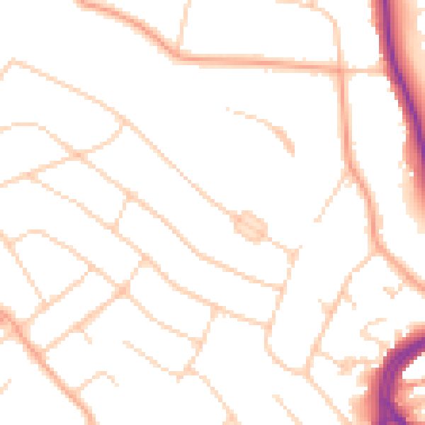
Daytime· 07:00 – 23:00
49.6dB

Night-time· 23:00 – 07:00
39.8dB