19 Cedars Avenue, Rickmansworth, WD3 7AW
About 19 Cedars Avenue
19 Cedars Avenue is a five-bedroom detached house in Rickmansworth (WD3 7AW). It has a recorded floor area of 200 m² (around 2153 sq ft), construction records dating it to 1950-1966 and council tax band G. The latest certificate (March 2018) shows an E (score 54), well below the UK norm with real room to improve. When first surveyed in October 2017 the rating was F, the property has climbed 1 band since. Between certificates, wall efficiency went from Very Poor to Poor, roof efficiency went from Good to Very Good and hot-water efficiency went from Poor to Average. The recommended improvements would lift it to B (score 84), a 3-band jump. Our model identifies extension potential, subject to local planning policy.
4 planning records sit against the property, 2 approved, 0 refused. Past consents include tree works, meaningful when judging how the property has evolved. At 200 m² it's 21.2% larger than the typical home in the postcode (165 m² median across 5 EPCs). It lags the bulk of the postcode on energy efficiency (less efficient than 80% of similar EPCs). On a £-per-square-foot basis, the last sale (£583/sq ft) was about 26.1% above the typical sold price in the postcode. Last sale on file: £1,255,000 in November 2022. That sale was during the post-pandemic price surge, when transactions cleared materially above pre-2020 trend.
Know exactly what you're buying at 19 Cedars Avenue
Before you offer, see what the listing won't tell you, the true value, the red flags and the full history.
Already flagged here
Valuation
against the asking price
Risks
planning & flood
Sold prices
similar homes nearby
Trends
the local market
What this property has
Inside
- Bedrooms5
- Bathrooms2
- Dining roomYes
- EnsuiteYes
Outside
- Private gardenYes
- ParkingOff street
Building
- Extension potentialPossible
Energy performance
19 Cedars Avenue's carbon output runs well above what efficient homes in the postcode produce.
EPC Rating
Property Improvements
Changes detected from historical EPC data
Hot water system upgraded
Wall insulation improved
Loft insulation upgraded to recommended levels
More low energy lighting installed
Planning history
- Jul 2020OutbuildingOutlineIn report
Certificate of Lawfulness Proposed Development: Erection of detached outbuilding, hardstanding, fence and gate
- Documents
- 10 docs on file
- Reference
- 20/0927/CLPD
- Mar 2020Tree WorksTreesIn report
Various tree works
- Documents
- 2 docs on file
- Reference
- 20/0341/TCA
We flagged 2 things worth checking at 19 Cedars Avenue
Independent checks surfaced things a buyer would want to understand before offering. The report explains each one in full, with the underlying data and what to ask.
- Larger development activity nearby
- Environmental risk flagged
30-day money-back guarantee
Sales history & valuation
The latest sale landed in the post-pandemic price surge — useful context when reading the figure.
£1,290,000
Modelled from EPC, postcode comparables.
£1,255,000
Recorded with HM Land Registry.
Sales timeline
30 November 2022Most recent
£1,255,000
Median price across the last 5 sales in WD3 7AW: £895,000 (2023–2007).
Nearby sales in WD3 7AW
9 Cedars Avenue, Rickmansworth, WD3 7AW
Sold Mar 2023
£895,00037 Cedars Avenue, Rickmansworth, WD3 7AW
Sold Sept 2020
£1,525,00031 Cedars Avenue, Rickmansworth, WD3 7AW
Sold Mar 2016
£950,0001 Cedars Avenue, Rickmansworth, WD3 7AW
Sold May 2010
£565,00035 Cedars Avenue, Rickmansworth, WD3 7AW
Sold Sept 2007
£565,000
Everything we know about 19 Cedars Avenue, in one report
What it's really worth, what could be wrong, and the planning, sales and area data in full.
What we flagged
- Larger development activity nearby
- Environmental risk flagged

Versus other Cedars Avenue homes
On co₂ emissions, 19 Cedars Avenue runs well behind the street norm.
Price per m²
£6,275
Street avg £6,094
Floor Area
200 m²
Street avg 163 m²
Habitable Rooms
8 rooms
Street avg 7 rooms
CO₂ Emissions
10.0 t/year
Street avg 6.5 t/year
Similar properties nearby
The neighbourhood at a glance
Rail-style transport is unusually close for this postcode.
Crime
8/mo
Steady year-on-year across the wider district.
Nearest stop
0.1 km
The Halfway House PH — bus stop.
Closest school
0.8 km
St Peter's Church of England Voluntary Aided Primary School. 12 schools nearby.
Go deeper on the local area
The full report breaks down crime, transport links, schools and air quality in depth.
Road noise across the postcode
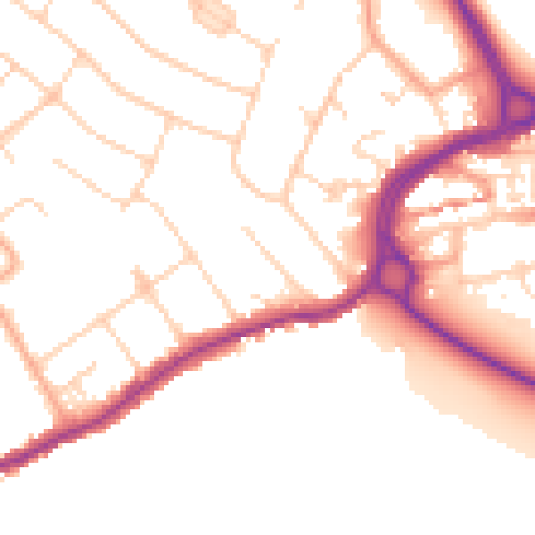
Daytime· 07:00 – 23:00
51.6dB

Night-time· 23:00 – 07:00
43.1dB