47 Leavesden Road, Watford, WD24 5EB
About 47 Leavesden Road
47 Leavesden Road is a two-bedroom mid-terrace house in Watford (WD24 5EB). It has a recorded floor area of 67 m² (around 721 sq ft), construction records dating it to 1950-1966 and council tax band C. The latest certificate (January 2023) shows a C (score 69), just inside the C band. When first surveyed in November 2010 the rating was D, the property has climbed 1 band since. Between certificates, wall efficiency went from Very Poor to Poor and lighting went from Average to Very Good. The recommended improvements would push it to B (score 86).
Held since March 2011 — that's 15 years off the open market, well above the local norm. Across 2001–2011, sale prices on this property compounded at 8.9% per year. Today's modelled estimate of £381,000 sits 85% above the 2011 sale of £206,000. On a £-per-square-foot basis, the last sale (£286/sq ft) was about 19.5% above the typical sold price in the postcode. Its energy rating outperforms most of the postcode (better than 75% of similar EPCs).
What this property has
Inside
- Bedrooms2
- Bathrooms1
Everything you need to know about 47 Leavesden Road
The true value, the hidden risks and the full sale history, in one report.
30-day money-back guarantee

The data behind every report


Energy performance
EPC Rating
Property Improvements
Changes detected from historical EPC data
Wall insulation improved
More low energy lighting installed
Planning history
47 Leavesden Road has no planning applications on record.
Notable planning nearby
3applications of note in the surrounding area
Sales history & valuation
Sale price has at least doubled since 2001.
£381,000
Modelled from EPC, postcode comparables and a sale-price growth of 8.9% per year over 10 years.
£206,000
Growth on file: 8.9% per year over 10 years.
Sales timeline
16 March 2011Most recent
£206,000
+24.8%over 4 years12 April 2006
£165,000
+89.7%over 5 years31 January 2001
£87,000
Median price across the last 5 sales in WD24 5EB: £380,000 (2025–2021).
Nearby sales in WD24 5EB
Versus other Leavesden Road homes
47 Leavesden Road is notably below the street on floor area.
Price per m²
£3,075
Street avg £3,598
Floor Area
67 m²
Street avg 71 m²
Habitable Rooms
3 rooms
Street avg 4 rooms
CO₂ Emissions
2.6 t/year
Street avg 3.1 t/year
Everything you need to know about 47 Leavesden Road
The true value, the hidden risks and the full sale history, in one report.
30-day money-back guarantee
The data behind every report
Similar properties nearby
1 Chatsworth Mews, Diamond Road
WD24 5HD
1 Leaford Crescent
WD24 5JQ
1 Diamond Road
WD24 5EN
1 Leavesden Road
WD24 5EB
1 Garfield Street
WD24 5HA
1 Milton Street
WD24 5EU
1 Lowestoft Road
WD24 5AX
1 Acme Road
WD24 5AH
The neighbourhood at a glance
Rail-style transport is unusually close for this postcode.
Crime
4/mo
Rising year-on-year across the wider district.
Nearest stop
0.1 km
Brixton Road — bus stop.
Closest school
0.7 km
Nascot Wood Infant and Nursery School. 34 schools nearby.
Go deeper on the local area
The full report breaks down crime, transport links, schools and air quality in depth.
Road noise across the postcode
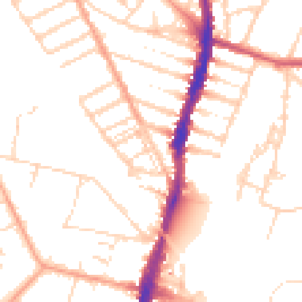
Daytime· 07:00 – 23:00
50.4dB

Night-time· 23:00 – 07:00
40.7dB