23 Leavesden Road, Watford, WD24 5EB
About 23 Leavesden Road
23 Leavesden Road is a three-bedroom mid-terrace house in Watford (WD24 5EB). It has a recorded floor area of 67 m² (around 722 sq ft), construction records dating it to before 1900 and council tax band C. The latest certificate (July 2011) shows a D (score 57), a step below the typical UK home. The latest certificate is from July 2011, so improvements made since then won't be reflected.
Across 1998–2012, sale prices on this property compounded at 8% per year. Today's modelled estimate of £382,000 sits 91% above the 2012 sale of £200,000. On a £-per-square-foot basis, the last sale (£277/sq ft) was about 21.1% above the typical sold price in the postcode. 14 years since the last transfer (April 2012).
What this property has
Inside
- Bedrooms3
Everything you need to know about 23 Leavesden Road
The true value, the hidden risks and the full sale history, in one report.
30-day money-back guarantee

The data behind every report


Energy performance
23 Leavesden Road's EPC is over a decade old — improvements since won't be reflected.
EPC Expired
This certificate is over 10 years old and is no longer valid.Expired 24 Jul 2021
EPC Rating
Planning history
23 Leavesden Road has no planning applications on record.
Notable planning nearby
3applications of note in the surrounding area
Sales history & valuation
Sale price has at least doubled since 1998.
£382,000
Modelled from EPC, postcode comparables and a sale-price growth of 8.0% per year over 14 years.
£200,000
Growth on file: 8.0% per year over 14 years.
Sales timeline
17 April 2012Most recent
£200,000
+8.7%over 5 years5 October 2006
£184,000
+174.6%over 8 years6 February 1998
£67,000
Median price across the last 5 sales in WD24 5EB: £380,000 (2025–2021).
Nearby sales in WD24 5EB
Versus other Leavesden Road homes
23 Leavesden Road is notably below the street on epc rating.
Price per m²
£2,983
Street avg £3,602
Floor Area
67 m²
Street avg 71 m²
Habitable Rooms
4 rooms
Street avg 4 rooms
CO₂ Emissions
3.9 t/year
Street avg 3.0 t/year
Everything you need to know about 23 Leavesden Road
The true value, the hidden risks and the full sale history, in one report.
30-day money-back guarantee
The data behind every report
Similar properties nearby
The neighbourhood at a glance
Rail-style transport is unusually close for this postcode.
Crime
4/mo
Rising year-on-year across the wider district.
Nearest stop
0.1 km
Brixton Road — bus stop.
Closest school
0.7 km
Nascot Wood Infant and Nursery School. 34 schools nearby.
Go deeper on the local area
The full report breaks down crime, transport links, schools and air quality in depth.
Road noise across the postcode
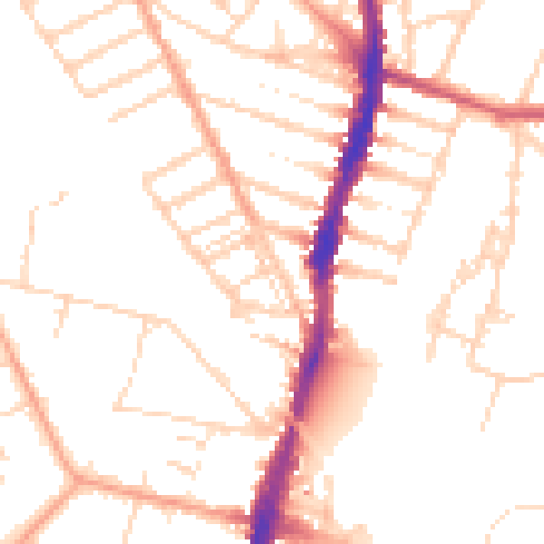
Daytime· 07:00 – 23:00
50.4dB

Night-time· 23:00 – 07:00
40.7dB