Flat 2, 255 St Albans Road, Watford, WD24 5BQ
About Flat 2
Flat 2 is a mid-terrace house in Watford (WD24 5BQ). It has a recorded floor area of 46 m² (around 495 sq ft), construction records dating it to 1967-1975 and council tax band B. At 46 m² this is the 3rd smallest of 5 units on EPC record in the building, where floor areas span 37–53 m². The building's EPC ratings span D to C, with this unit at the bottom. The latest certificate (October 2020) shows a D (score 67), on the cusp of jumping into the C band. Earlier certificates rated it C (December 2009); the latest reading is one band lower. Between certificates, wall efficiency dropped from Very Good to Poor and roof efficiency dropped from Good to Very Poor. The recommended improvements would push it to C (score 74).
Across 2010–2023, sale prices on this property compounded at 1.6% per year. Today's modelled estimate of £207,000 is 11.9% above the 2023 sale price. Sold February 2023 for £185,000.
Everything you need to know about Flat 2
The true value, the hidden risks and the full sale history, in one report.
30-day money-back guarantee

The data behind every report


Energy performance
EPC Rating
Planning history
Flat 2 has no planning applications on record.
Notable planning nearby
3applications of note in the surrounding area
Sales history & valuation
£207,000
Modelled from EPC, postcode comparables and a sale-price growth of 1.6% per year over 13 years.
£185,000
Growth on file: 1.6% per year over 13 years.
Sales timeline
7 February 2023Most recent
£185,000
+42.3%over 10 years12 March 2012
£130,000
-14.5%over 1 year20 May 2010
£152,000
Median price across the last 5 sales in WD24 5BQ: £210,000 (2022–2019).
Nearby sales in WD24 5BQ
237a, St Albans Road, Watford, WD24 5BQ
Sold Oct 2022
£552,500Flat 3, 255 St Albans Road, Watford, WD24 5BQ
Sold Oct 2022
£205,000Flat 5, 255 St Albans Road, Watford, WD24 5BQ
Sold Jul 2022
£215,000Flat 4, 255 St Albans Road, Watford, WD24 5BQ
Sold Nov 2019
£180,000249a, St Albans Road, Watford, WD24 5BQ
Sold May 2018
£508,000
Versus other St Albans Road homes
On years held, Flat 2 runs well behind the street norm.
Price per m²
£4,022
Street avg £3,958
Floor Area
46 m²
Street avg 51 m²
Habitable Rooms
2 rooms
Street avg 3 rooms
CO₂ Emissions
2.2 t/year
Street avg 3.1 t/year
Everything you need to know about Flat 2
The true value, the hidden risks and the full sale history, in one report.
30-day money-back guarantee
The data behind every report
Similar properties nearby
229b, Flat 2, St Albans Road
WD24 5BQ
Beall Court 2a, Flat 9, Dodd Road
WD24 5FL
Beall Court 2a, Flat 10, Dodd Road
WD24 5FL
229b, Flat 3, St Albans Road
WD24 5BQ
Beall Court 2a, Flat 11, Dodd Road
WD24 5FL
Beall Court 2a, Flat 12, Dodd Road
WD24 5FL
Beall Court 2a, Flat 13, Dodd Road
WD24 5FL
Beall Court 2a, Flat 14, Dodd Road
WD24 5FL
The neighbourhood at a glance
Rail-style transport is unusually close for this postcode.
Crime
4/mo
Rising year-on-year across the wider district.
Nearest stop
0.1 km
Regent Street — bus stop.
Closest school
0.5 km
Parkgate Junior School. 34 schools nearby.
Go deeper on the local area
The full report breaks down crime, transport links, schools and air quality in depth.
Road noise across the postcode
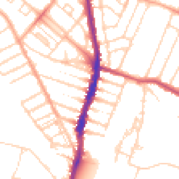
Daytime· 07:00 – 23:00
50.9dB

Night-time· 23:00 – 07:00
40.5dB