253a, St Albans Road, Watford, WD24 5BQ
About 253a
253a is a semi-detached house in Watford (WD24 5BQ). It has a recorded floor area of 62 m² (around 667 sq ft), construction records dating it to 1930-1949 and council tax band C. At 62 m² this is the 16th smallest of 20 units on EPC record in the building, where floor areas span 35–66 m². The building's EPC ratings span E to C, with this unit at the top. The latest certificate (September 2019) shows a C (score 69), just inside the C band.
It hasn't traded since October 2000, a hold of 26 years that's notably long for the area. Only one transfer is on record with HM Land Registry, suggesting it has stayed in the same hands for a long time. Today's modelled estimate of £274,000 sits 364.4% above the 2000 sale of £59,000. On a £-per-square-foot basis, the last sale (£88/sq ft) was about 74.7% below the postcode norm. At 62 m² it's 21.6% larger than the typical home in the postcode (51 m² median across 19 EPCs). Its energy rating outperforms most of the postcode (better than 84% of similar EPCs).
Everything you need to know about 253a
The true value, the hidden risks and the full sale history, in one report.
30-day money-back guarantee

The data behind every report


Energy performance
EPC Rating
Planning history
253a has no planning applications on record.
Notable planning nearby
3applications of note in the surrounding area
Sales history & valuation
Latest sale on 253a was the lowest on Land Registry record across the postcode.
£274,000
Modelled from EPC, postcode comparables.
£59,000
Recorded with HM Land Registry.
Sales timeline
12 October 2000Most recent
£59,000
Median price across the last 5 sales in WD24 5BQ: £205,000 (2023–2019).
Nearby sales in WD24 5BQ
Flat 2, 255 St Albans Road, Watford, WD24 5BQ
Sold Feb 2023
£185,000237a, St Albans Road, Watford, WD24 5BQ
Sold Oct 2022
£552,500Flat 3, 255 St Albans Road, Watford, WD24 5BQ
Sold Oct 2022
£205,000Flat 5, 255 St Albans Road, Watford, WD24 5BQ
Sold Jul 2022
£215,000Flat 4, 255 St Albans Road, Watford, WD24 5BQ
Sold Nov 2019
£180,000
Versus other St Albans Road homes
253a is notably below the street on price per m².
Price per m²
£952
Street avg £4,299
Floor Area
62 m²
Street avg 50 m²
Habitable Rooms
4 rooms
Street avg 3 rooms
CO₂ Emissions
2.5 t/year
Street avg 3.1 t/year
Everything you need to know about 253a
The true value, the hidden risks and the full sale history, in one report.
30-day money-back guarantee
The data behind every report
Similar properties nearby
1 Judge Street
WD24 5AN
1 Goodwood Avenue
WD24 5LA
1 Cecil Street
WD24 5AS
1 Leaford Crescent
WD24 5JQ
1 Hudson Close
WD24 5LW
1 Courtlands Close
WD24 5GR
1 Milton Street
WD24 5EU
1 Chatsworth Mews, Diamond Road
WD24 5HD
The neighbourhood at a glance
Rail-style transport is unusually close for this postcode.
Crime
4/mo
Rising year-on-year across the wider district.
Nearest stop
0.1 km
Regent Street — bus stop.
Closest school
0.5 km
Parkgate Junior School. 34 schools nearby.
Go deeper on the local area
The full report breaks down crime, transport links, schools and air quality in depth.
Road noise across the postcode
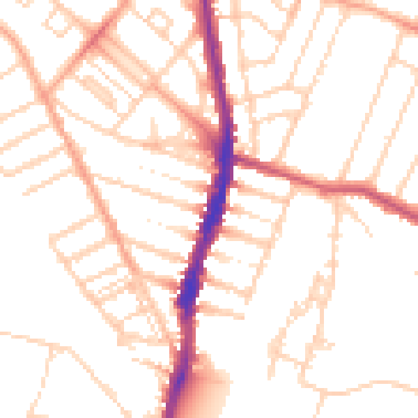
Daytime· 07:00 – 23:00
50.9dB

Night-time· 23:00 – 07:00
40.5dB