27 Cecil Street, Watford, WD24 5AS
About 27 Cecil Street
27 Cecil Street is a two-bedroom mid-terrace house in Watford (WD24 5AS). It has a recorded floor area of 67 m² (around 721 sq ft), construction records dating it to 1900-1929 and council tax band C. The latest certificate (May 2018) shows a D (score 59), a step below the typical UK home. The recommended improvements would lift it to B (score 87), a 2-band jump.
It hasn't traded since June 2006, a hold of 20 years that's notably long for the area. Across 1998–2006, sale prices on this property compounded at 10.5% per year. Today's modelled estimate of £359,000 sits 105.2% above the 2006 sale of £174,950.
What this property has
Inside
- Bedrooms2
- Bathrooms1
- Dining roomYes
- EnsuiteYes
Outside
- Private gardenYes
Building
- Heating systemGas
- RefurbishedYes
Everything you need to know about 27 Cecil Street
The true value, the hidden risks and the full sale history, in one report.
30-day money-back guarantee

The data behind every report


Energy performance
Recommended upgrades on file would lift this property by multiple EPC bands.
EPC Rating
Planning history
27 Cecil Street has no planning applications on record.
Notable planning nearby
3applications of note in the surrounding area
Sales history & valuation
27 Cecil Street has more than doubled in price since the earliest registered sale in 1998.
£359,000
Modelled from EPC, postcode comparables and a sale-price growth of 10.5% per year over 8 years.
£174,950
Growth on file: 10.5% per year over 8 years.
Sales timeline
13 June 2006Most recent
£174,950
+124.4%over 8 years21 May 1998
£77,950
Median price across the last 5 sales in WD24 5AS: £380,000 (2024–2023).
Nearby sales in WD24 5AS
Versus other Cecil Street homes
On years held, 27 Cecil Street stands well clear of the street.
Price per m²
£2,611
Street avg £3,848
Floor Area
67 m²
Street avg 72 m²
Habitable Rooms
3 rooms
Street avg 4 rooms
CO₂ Emissions
3.7 t/year
Street avg 3.4 t/year
Everything you need to know about 27 Cecil Street
The true value, the hidden risks and the full sale history, in one report.
30-day money-back guarantee
The data behind every report
Similar properties nearby
1 Chatsworth Mews, Diamond Road
WD24 5HD
1 Leaford Crescent
WD24 5JQ
1 Milton Street
WD24 5EU
1 Diamond Road
WD24 5EN
1 Leavesden Road
WD24 5EB
1 Garfield Street
WD24 5HA
1 Lowestoft Road
WD24 5AX
1 Goodwood Avenue
WD24 5LA
The neighbourhood at a glance
Rail-style transport is unusually close for this postcode.
Crime
4/mo
Rising year-on-year across the wider district.
Nearest stop
0.1 km
Shakespeare Street — bus stop.
Closest school
0.6 km
Parkgate Junior School. 36 schools nearby.
Go deeper on the local area
The full report breaks down crime, transport links, schools and air quality in depth.
Road noise across the postcode
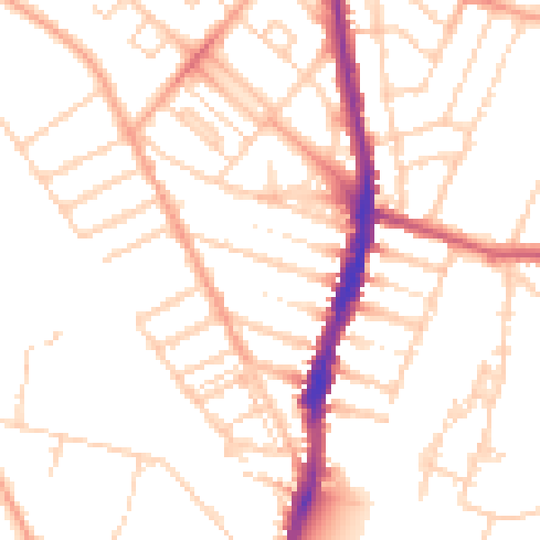
Daytime· 07:00 – 23:00
50.8dB

Night-time· 23:00 – 07:00
40.3dB