212a, St Albans Road, Watford, WD24 4AU
About 212a
212a is a two-bedroom mid-terrace house in Watford (WD24 4AU). It has a recorded floor area of 62 m² (around 667 sq ft), construction records dating it to 1900-1929 and council tax band C. The latest certificate (November 2019) shows a D (score 64), on the cusp of jumping into the C band. When first surveyed in June 2012 the rating was E, the property has climbed 1 band since. Between certificates, wall efficiency went from Very Poor to Very Good, roof efficiency went from Poor to Good and window efficiency went from Poor to Very Good; while hot-water efficiency dropped from Good to Very Poor and main heating dropped from Good to Very Poor. Main heating runs on electricity: electricity, unspecified tariff. At 62 m² this is the 11th smallest of 19 units on EPC record in the building, where floor areas span 21–143 m². The building's EPC ratings span G to B across 19 units on file.
It hasn't traded since October 2003, a hold of 23 years that's notably long for the area. Across 2003–2003, sale prices on this property compounded at 22.5% per year. Today's modelled estimate of £326,000 is 33.1% above the 2003 sale price. On a £-per-square-foot basis, the last sale (£367/sq ft) was about 108.6% above the typical sold price in the postcode.
Know exactly what you're buying at 212a
Before you offer, see what the listing won't tell you, the true value, the red flags and the full history.
Already flagged here
Valuation
against the asking price
Risks
planning & flood
Sold prices
similar homes nearby
Trends
the local market
What this property has
Inside
- Bedrooms2
- Bathrooms1
Energy performance
EPC Rating
Property Improvements
Changes detected from historical EPC data
Low energy lighting percentage decreased
Heating system changed
Changed to a more efficient fuel source
Hot water system changed
Single glazing replaced with double or better glazing
Cavity wall insulation installed
Roof insulation improved
More low energy lighting installed
Planning history
212a has no planning applications on record.
Notable planning nearby
4applications of note in the surrounding area
We flagged 2 things worth checking at 212a
Independent checks surfaced things a buyer would want to understand before offering. The report explains each one in full, with the underlying data and what to ask.
- Larger development activity nearby
- Recent ownership pattern worth a look
30-day money-back guarantee
Sales history & valuation
212a changed hands twice within eighteen months — unusual for the area.
£326,000
Modelled from EPC, postcode comparables and a sale-price growth of 22.5% per year over 1 year.
£245,000
Growth on file: 22.5% per year over 1 year.
Sales timeline
22 October 2003Most recent
£245,000
+22.5%30 July 2003
£200,000
Median price across the last 5 sales in WD24 4AU: £275,000 (2025–2011).
Nearby sales in WD24 4AU
Flat 1, 226 St Albans Road, Watford, WD24 4AU
Sold Feb 2025
£275,000Flat 2, 226 St Albans Road, Watford, WD24 4AU
Sold May 2024
£1,076,474242a, St Albans Road, Watford, WD24 4AU
Sold May 2023
£567,000Flat 5, 224 St Albans Road, Watford, WD24 4AU
Sold Jun 2015
£98,000Flat 2, 224 St Albans Road, Watford, WD24 4AU
Sold Apr 2008
£185,000
Everything we know about 212a, in one report
What it's really worth, what could be wrong, and the planning, sales and area data in full.
What we flagged
- Larger development activity nearby
- Recent ownership pattern worth a look

Versus other St Albans Road homes
212a outperforms the street on years held by a wide margin.
Price per m²
£3,952
Street avg £3,684
Floor Area
62 m²
Street avg 64 m²
CO₂ Emissions
2.5 t/year
Street avg 4.7 t/year
Years Held
23 years
Street avg 15 years
Similar properties nearby
1 Liberty Apartments, 19 Devon Road
WD24 4HS
1 The Lodge, Orphanage Road
WD24 4QZ
1 Devon Road
WD24 4HP
1 Bruce Grove
WD24 4DZ
1 Salisbury Road
WD24 4DT
1 Ellenbrook Close
WD24 4DP
10 Byron Avenue
WD24 4HT
10 Bradshaw Road
WD24 4DE
The neighbourhood at a glance
Rail-style transport is unusually close for this postcode.
Crime
4/mo
Rising year-on-year across the wider district.
Nearest stop
0.1 km
Regent Street — bus stop.
Closest school
0.5 km
Parkgate Junior School. 35 schools nearby.
Go deeper on the local area
The full report breaks down crime, transport links, schools and air quality in depth.
Road noise across the postcode
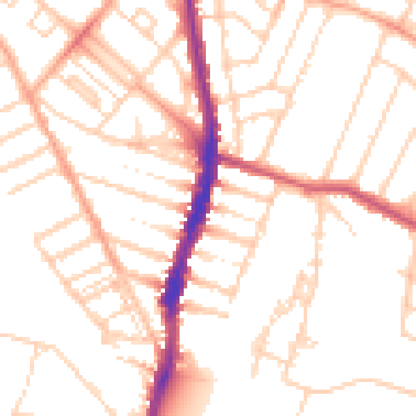
Daytime· 07:00 – 23:00
51.1dB

Night-time· 23:00 – 07:00
40.7dB