242a, St Albans Road, Watford, WD24 4AU
About 242a
242a is an end-of-terrace house in Watford (WD24 4AU). It has a recorded floor area of 143 m² (around 1539 sq ft), construction records dating it to 1900-1929 and council tax band D. The latest certificate (March 2018) shows a G (score 13), near the bottom of the EPC scale. The recommended improvements would lift it to D (score 61), a 3-band jump. Main heating runs on electricity.
Across 1998–2023, sale prices on this property compounded at 7.8% per year. Today's modelled estimate of £345,000 is 39.2% below the 2023 sale of £567,000, running counter to the wider postcode trend, which makes the EPC and condition history especially worth a look. On a £-per-square-foot basis, the last sale (£368/sq ft) was about 69.3% above the typical sold price in the postcode. At 143 m² the property is well over the postcode median (57 m² across 18 EPCs), placing it in the larger end of the local stock. On energy efficiency it sits in the bottom 10% of properties in this postcode — significant headroom for improvement. Sold May 2023 for £567,000.
Know exactly what you're buying at 242a
Before you offer, see what the listing won't tell you, the true value, the red flags and the full history.
Already flagged here
Valuation
against the asking price
Risks
planning & flood
Sold prices
similar homes nearby
Trends
the local market
Energy performance
242a sits at the bottom of the postcode for energy efficiency — meaningful headroom to improve.
EPC Rating
Planning history
242a has no planning applications on record.
Notable planning nearby
4applications of note in the surrounding area
We flagged 1 thing worth checking at 242a
Independent checks surfaced things a buyer would want to understand before offering. The report explains each one in full, with the underlying data and what to ask.
- Larger development activity nearby
30-day money-back guarantee
Sales history & valuation
Price for 242a has grown more than fourfold since the 1998 starting point.
£345,000
Modelled from EPC, postcode comparables and a sale-price growth of 7.8% per year over 25 years.
£567,000
Growth on file: 7.8% per year over 25 years.
Sales timeline
3 May 2023Most recent
£567,000
+544.3%over 24 years17 June 1998
£88,000
Median price across the last 5 sales in WD24 4AU: £158,000 (2025–2008).
Nearby sales in WD24 4AU
Flat 1, 226 St Albans Road, Watford, WD24 4AU
Sold Feb 2025
£275,000Flat 2, 226 St Albans Road, Watford, WD24 4AU
Sold May 2024
£1,076,474Flat 5, 224 St Albans Road, Watford, WD24 4AU
Sold Jun 2015
£98,000Flat 2, 224 St Albans Road, Watford, WD24 4AU
Sold Apr 2008
£185,000236a, St Albans Road, Watford, WD24 4AU
Sold Aug 2004
£200,000
Everything we know about 242a, in one report
What it's really worth, what could be wrong, and the planning, sales and area data in full.
What we flagged
- Larger development activity nearby

Versus other St Albans Road homes
On years held, 242a runs well behind the street norm.
Price per m²
£3,965
Street avg £3,682
Floor Area
143 m²
Street avg 59 m²
Habitable Rooms
4 rooms
Street avg 3 rooms
CO₂ Emissions
22.0 t/year
Street avg 3.6 t/year
Similar properties nearby
The neighbourhood at a glance
Rail-style transport is unusually close for this postcode.
Crime
4/mo
Rising year-on-year across the wider district.
Nearest stop
0.1 km
Regent Street — bus stop.
Closest school
0.5 km
Parkgate Junior School. 35 schools nearby.
Go deeper on the local area
The full report breaks down crime, transport links, schools and air quality in depth.
Road noise across the postcode
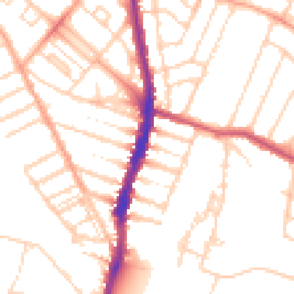
Daytime· 07:00 – 23:00
51.1dB

Night-time· 23:00 – 07:00
40.7dB