5 Penrose Avenue, Watford, WD19 5AE
About 5 Penrose Avenue
5 Penrose Avenue is a semi-detached house in Watford (WD19 5AE). It has a recorded floor area of 81 m² (around 872 sq ft), construction records dating it to 1950-1966 and council tax band E. The latest certificate (June 2014) shows an E (score 45), well below the UK norm with real room to improve. Earlier certificates rated it D (July 2011); the latest reading is one band lower. Between certificates, roof efficiency dropped from Average to Very Poor and hot-water efficiency dropped from Good to Average. The recommended improvements would lift it to B (score 86), a 3-band jump. The latest certificate is from June 2014, so improvements made since then won't be reflected.
Today's modelled estimate of £465,000 sits 102.6% above the 2011 sale of £229,500. One planning record on file: an extension approved in 2012. Past consents include an extension, meaningful when judging how the property has evolved. Last changed hands 15 years ago, in November 2011.
Everything you need to know about 5 Penrose Avenue
The true value, the hidden risks and the full sale history, in one report.
30-day money-back guarantee

The data behind every report


Energy performance
Recommended upgrades on file would lift this property by multiple EPC bands.
EPC Expired
This certificate is over 10 years old and is no longer valid.Expired 07 Jun 2024
EPC Rating
Planning history
- Feb 2012ExtensionFullIn report
Extension: Single storey · Rear of property
Adaptation of existing house for wheelchair user including a single storey rear extension and raised rear patio
- Documents
- 21 docs on file
- Reference
- 11/2541/FUL
What's in 5 Penrose Avenue, Watford, WD19 5AE's planning history?
Refusals, disputes and full decisions on this property and nearby, in the report.
Sales history & valuation
5 Penrose Avenue valuation sits well clear of the typical sold price in this postcode.
£465,000
Modelled from EPC, postcode comparables.
£229,500
Recorded with HM Land Registry.
Sales timeline
21 November 2011Most recent
£229,500
Median price across the last 5 sales in WD19 5AE: £350,000 (2021–2002).
Everything you need to know about 5 Penrose Avenue
The true value, the hidden risks and the full sale history, in one report.
30-day money-back guarantee
The data behind every report
Similar properties nearby
The neighbourhood at a glance
Rail-style transport is unusually close for this postcode.
Crime
4/mo
Steady year-on-year across the wider district.
Nearest stop
0.3 km
Upper Hitch — bus stop.
Closest school
0.4 km
St Meryl School. 25 schools nearby.
Go deeper on the local area
The full report breaks down crime, transport links, schools and air quality in depth.
Road noise across the postcode
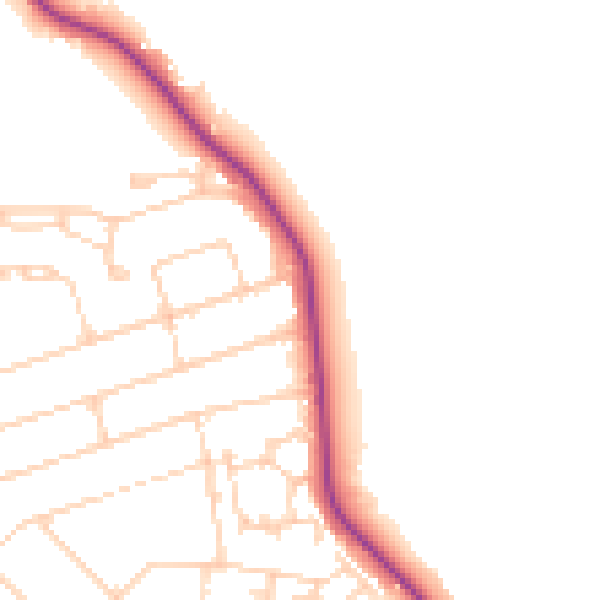
Daytime· 07:00 – 23:00
48.3dB

Night-time· 23:00 – 07:00
40.1dB