4 Capel Road, Watford, WD19 4AE
About 4 Capel Road
4 Capel Road is a mid-terrace house in Watford (WD19 4AE). It has a recorded floor area of 62 m² (around 667 sq ft), construction records dating it to 1900-1929 and council tax band D. The latest certificate (August 2019) shows a D (score 59), a step below the typical UK home. When first surveyed in July 2009 the rating was E, the property has climbed 1 band since. Between certificates, hot-water efficiency went from Average to Good, lighting went from Poor to Good and main heating went from Average to Good. The recommended improvements would lift it to B (score 81), a 2-band jump.
At 62 m² it's 19.5% smaller than the typical home in the postcode (77 m² median across 23 EPCs).
Everything you need to know about 4 Capel Road
The true value, the hidden risks and the full sale history, in one report.
30-day money-back guarantee

The data behind every report


Energy performance
Recommended upgrades on file would lift this property by multiple EPC bands.
EPC Rating
Property Improvements
Changes detected from historical EPC data
Heating controls upgraded for better temperature management
Hot water efficiency improved
More low energy lighting installed
Planning history
4 Capel Road has no planning applications on record.
Notable planning nearby
4applications of note in the surrounding area
We flagged 1 thing worth checking at 4 Capel Road
Independent checks surfaced things a buyer would want to understand before offering. The report explains each one in full, with the underlying data and what to ask.
- Larger development activity nearby
30-day money-back guarantee
Sales history & valuation
4 Capel Road has no Land Registry sales on file, suggesting it has stayed in the same hands since registration began.
£396,000
Modelled from EPC, postcode comparables.
No sales recorded with HM Land Registry
That can mean the property has never traded since the registry began publishing in 1995, was a new build that hasn't been registered yet, or is held in the same hands long-term.
Median price across the last 5 sales in WD19 4AE: £390,000 (2025–2023).
Versus other Capel Road homes
4 Capel Road is notably below the street on habitable rooms.
EPC Rating
59 (D)
Street avg 63 (D)
Floor Area
62 m²
Street avg 82 m²
CO₂ Emissions
3.4 t/year
Street avg 3.6 t/year
Habitable Rooms
3 rooms
Street avg 4 rooms
Everything you need to know about 4 Capel Road
The true value, the hidden risks and the full sale history, in one report.
30-day money-back guarantee
The data behind every report
Similar properties nearby
1 Colne Avenue
WD19 4JF
1 Caroline Place, Capel Road
WD19 4AF
1 Crossmead
WD19 4JG
1 Carlton Court, Eastbury Road
WD19 4QA
1 Blackwell Drive
WD19 4HP
1 Field End Mews
WD19 4FD
1 Dorchester Court, Chalk Hill
WD19 4DB
1 Brookside Road
WD19 4BW
The neighbourhood at a glance
Rail-style transport is unusually close for this postcode.
Crime
4/mo
Steady year-on-year across the wider district.
Nearest stop
0.1 km
Bushey Railway Station East — bus stop.
Closest school
0.3 km
Bushey and Oxhey Infant School. 34 schools nearby.
Go deeper on the local area
The full report breaks down crime, transport links, schools and air quality in depth.
Road noise across the postcode
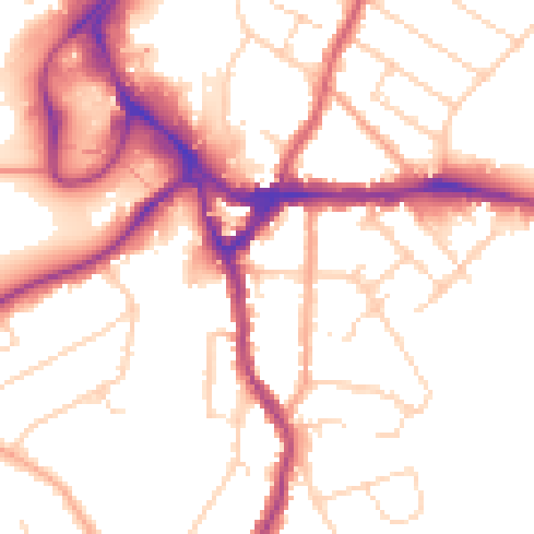
Daytime· 07:00 – 23:00
52.3dB

Night-time· 23:00 – 07:00
43.4dB