34 Capel Road, Watford, WD19 4AE
About 34 Capel Road
34 Capel Road is a four-bedroom detached house in Watford (WD19 4AE). It has a recorded floor area of 128 m² (around 1378 sq ft), construction records dating it to 1983-1990 and council tax band F. The latest certificate (July 2023) shows a D (score 68), on the cusp of jumping into the C band. The recommended improvements would push it to C (score 79). Other recorded features include outbuildings.
At 128 m² the property is well over the postcode median (75 m² across 23 EPCs), placing it in the larger end of the local stock. A recent sale: £782,000 in June 2025. Across 1997–2025, sale prices on this property compounded at 5.8% per year. On a £-per-square-foot basis, the last sale (£568/sq ft) was about 113.4% above the typical sold price in the postcode.
What this property has
Inside
- Bedrooms4
- Bathrooms2
- Open-plan layoutYes
- Dining roomYes
- EnsuiteYes
Outside
- Private gardenRear
- ParkingOff street
- OutbuildingsYes
Everything you need to know about 34 Capel Road
The true value, the hidden risks and the full sale history, in one report.
30-day money-back guarantee

The data behind every report


Energy performance
EPC Rating
Planning history
34 Capel Road has no planning applications on record.
Notable planning nearby
4applications of note in the surrounding area
We flagged 1 thing worth checking at 34 Capel Road
Independent checks surfaced things a buyer would want to understand before offering. The report explains each one in full, with the underlying data and what to ask.
- Larger development activity nearby
30-day money-back guarantee
Sales history & valuation
Latest sale on 34 Capel Road was the highest on Land Registry record across the postcode.
£790,000
Modelled from EPC, postcode comparables and a sale-price growth of 5.8% per year over 28 years.
£782,000
Growth on file: 5.8% per year over 28 years.
Sales timeline
29 June 2025Most recent
£782,000
+265.4%over 25 years13 December 1999
£214,000
+33.8%over 2 years11 June 1997
£160,000
Median price across the last 5 sales in WD19 4AE: £390,000 (2024–2021).
Versus other Capel Road homes
Years Held for 34 Capel Road lags the street by a wide margin.
Price per m²
£6,109
Street avg £4,564
Floor Area
128 m²
Street avg 79 m²
Habitable Rooms
6 rooms
Street avg 4 rooms
CO₂ Emissions
4.5 t/year
Street avg 3.6 t/year
Everything you need to know about 34 Capel Road
The true value, the hidden risks and the full sale history, in one report.
30-day money-back guarantee
The data behind every report
Similar properties nearby
1 Elm Avenue
WD19 4BD
1 Eley Place
WD19 4FQ
1 Brookdene Avenue
WD19 4LG
1 Cedar Road
WD19 4QP
1 Brookmill Close
WD19 4BB
1 Brookside Road
WD19 4BW
1 Blackwell Drive
WD19 4HP
1 Caroline Place, Capel Road
WD19 4AF
The neighbourhood at a glance
Rail-style transport is unusually close for this postcode.
Crime
4/mo
Steady year-on-year across the wider district.
Nearest stop
0.1 km
Bushey Railway Station East — bus stop.
Closest school
0.3 km
Bushey and Oxhey Infant School. 34 schools nearby.
Go deeper on the local area
The full report breaks down crime, transport links, schools and air quality in depth.
Road noise across the postcode
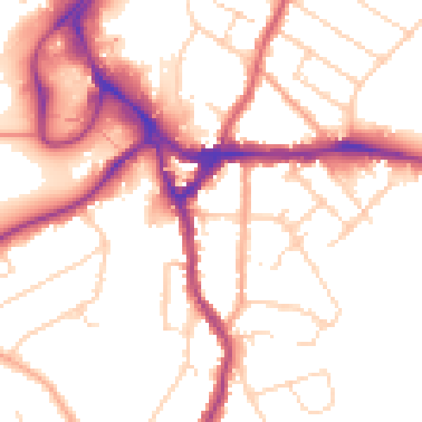
Daytime· 07:00 – 23:00
52.3dB

Night-time· 23:00 – 07:00
43.4dB