2a, Capel Road, Watford, WD19 4AE
About 2a
2a is a mid-terrace house in Watford (WD19 4AE). It has a recorded floor area of 59 m² (around 635 sq ft), construction records dating it to 1900-1929 and council tax band A. The latest certificate (February 2025) shows a C (score 70). When first surveyed in September 2010 the rating was E, the property has climbed 2 bands since. Between certificates, wall efficiency went from Very Poor to Good, roof efficiency went from Very Poor to Average and lighting went from Very Poor to Very Good. The recommended improvements would push it to B (score 89).
Across 2016–2016, sale prices on this property compounded at 20% per year. Today's modelled estimate of £282,000 sits 308.7% above the 2016 sale of £69,000. On a £-per-square-foot basis, the last sale (£109/sq ft) was about 60% below the postcode norm. Last changed hands 10 years ago, in May 2016. At 59 m² it's 23.4% smaller than the typical home in the postcode (77 m² median across 23 EPCs). One historical planning record sits against the property in 2016.
Everything you need to know about 2a
The true value, the hidden risks and the full sale history, in one report.
30-day money-back guarantee

The data behind every report


Energy performance
EPC Rating
Property Improvements
Changes detected from historical EPC data
Heating controls changed
Roof insulation improved
More low energy lighting installed
Wall insulation improved
Floor insulation added or improved
Planning history
- Feb 2016FullIn report
The retention of the existing single storey side extension as an independent building and to use it for office purposes within class B1a.
- Documents
- 11 docs on file
- Reference
- 15/01751/FUL
We flagged 2 things worth checking at 2a
Independent checks surfaced things a buyer would want to understand before offering. The report explains each one in full, with the underlying data and what to ask.
- Larger development activity nearby
- Recent ownership pattern worth a look
30-day money-back guarantee
Sales history & valuation
2a's modelled value sits at over four times its earliest registered sale price (2016).
£282,000
Modelled from EPC, postcode comparables and a sale-price growth of 20.0% per year over 1 year.
£69,000
Growth on file: 20.0% per year over 1 year.
Sales timeline
19 May 2016Most recent
£69,000
+20.0%31 March 2016
£57,500
Median price across the last 5 sales in WD19 4AE: £390,000 (2025–2023).
Versus other Capel Road homes
On price per m², 2a runs well behind the street norm.
Price per m²
£1,169
Street avg £4,838
Floor Area
59 m²
Street avg 82 m²
Habitable Rooms
3 rooms
Street avg 4 rooms
CO₂ Emissions
2.2 t/year
Street avg 3.7 t/year
Everything you need to know about 2a
The true value, the hidden risks and the full sale history, in one report.
30-day money-back guarantee
The data behind every report
Similar properties nearby
1 Dorchester Court, Chalk Hill
WD19 4DB
1 Field End Close
WD19 4DF
1 Cherry Lodge, Eastbury Road
WD19 4QR
1 Carlton Court, Eastbury Road
WD19 4QA
1 Colne Avenue
WD19 4JF
1 Caroline Place, Capel Road
WD19 4AF
1 Crossmead
WD19 4JG
1 Eastbury Court, Longcroft
WD19 4JX
The neighbourhood at a glance
Rail-style transport is unusually close for this postcode.
Crime
4/mo
Steady year-on-year across the wider district.
Nearest stop
0.1 km
Bushey Railway Station East — bus stop.
Closest school
0.3 km
Bushey and Oxhey Infant School. 34 schools nearby.
Go deeper on the local area
The full report breaks down crime, transport links, schools and air quality in depth.
Road noise across the postcode
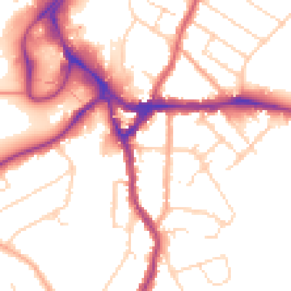
Daytime· 07:00 – 23:00
52.3dB

Night-time· 23:00 – 07:00
43.4dB