14 St James Road, Watford, WD18 0EA
About 14 St James Road
14 St James Road is a one-bedroom end-of-terrace house in Watford (WD18 0EA). It has a recorded floor area of 52 m² (around 560 sq ft), construction records dating it to 1930-1949 and council tax band B. The latest certificate (February 2022) shows a D (score 59), a step below the typical UK home.
Untraded for 30 years, with the last transfer in May 1996. Only one transfer is on record with HM Land Registry, suggesting it has stayed in the same hands for a long time. Today's modelled estimate of £219,000 sits 500% above the 1996 sale of £36,500. On a £-per-square-foot basis, the last sale (£65/sq ft) was about 54.8% below the postcode norm. At 52 m² it sits well below the postcode median (111 m² across 10 EPCs), making it one of the more compact homes locally. 2 planning records sit against the property, 0 approved, 1 refused.
Know exactly what you're buying at 14 St James Road
Before you offer, see what the listing won't tell you, the true value, the red flags and the full history.
Already flagged here
Valuation
against the asking price
Risks
planning & flood
Sold prices
similar homes nearby
Trends
the local market
What this property has
Inside
- Bedrooms1
- Bathrooms1
Outside
- Private gardenYes
Energy performance
EPC Rating
Planning history
- Oct 2004Change of UseAmendmentIn report
Change of use from ground floor offices and works unit to 1no 2 bedroom and 2no 1 bedroom flats
- Documents
- 22 docs on file
- Reference
- 04/00837/COU
- Aug 2004Change of UseAmendmentIn report
Change of use from offices and printing works to residential
- Documents
- 22 docs on file
- Reference
- 04/00642/COU
We flagged 1 thing worth checking at 14 St James Road
Independent checks surfaced things a buyer would want to understand before offering. The report explains each one in full, with the underlying data and what to ask.
- Signs of HMO activity in the area
30-day money-back guarantee
Sales history & valuation
Latest sale on 14 St James Road was the lowest on Land Registry record across the postcode.
£219,000
Modelled from EPC, postcode comparables.
£36,500
Recorded with HM Land Registry.
Sales timeline
23 May 1996Most recent
£36,500
Median price across the last 5 sales in WD18 0EA: £280,000 (2022–2013).
Nearby sales in WD18 0EA
Everything we know about 14 St James Road, in one report
What it's really worth, what could be wrong, and the planning, sales and area data in full.
What we flagged
- Signs of HMO activity in the area

Similar properties nearby
1 Holyrood Court, Marlborough Road
WD18 0QX
1 Ballinger Court, Halsey Road
WD18 0JR
1 Clifton Road
WD18 0DH
1 Bridgeford House, Cassio Road
WD18 0QR
1 Farthing Close
WD18 0BT
1 Addison Court, St Marys View
WD18 0GR
1 Cannon Road
WD18 0BB
1 Holywell Road
WD18 0HT
The neighbourhood at a glance
Rail-style transport is unusually close for this postcode.
Crime
8/mo
Steady year-on-year across the wider district.
Nearest stop
0.1 km
The Hornets — bus stop.
Closest school
0.2 km
Watford Grammar School for Girls. 36 schools nearby.
Go deeper on the local area
The full report breaks down crime, transport links, schools and air quality in depth.
Road noise across the postcode
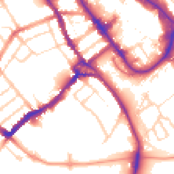
Daytime· 07:00 – 23:00
54.2dB

Night-time· 23:00 – 07:00
44.8dB