21 St James Road, Watford, WD18 0DZ
About 21 St James Road
21 St James Road is a three-bedroom semi-detached house in Watford (WD18 0DZ). It has a recorded floor area of 90 m² (around 969 sq ft), construction records dating it to 1930-1949 and council tax band D. The latest certificate (June 2022) shows a D (score 56), a step below the typical UK home. The recommended improvements would push it to C (score 79).
Held since August 2001 — that's 25 years off the open market, well above the local norm. Across 1996–2001, sale prices on this property compounded at 13.4% per year. Today's modelled estimate of £477,000 sits 281.6% above the 2001 sale of £125,000. On a £-per-square-foot basis, the last sale (£129/sq ft) was about 30.8% below the postcode norm. One historical planning record sits against the property in 2014.
Know exactly what you're buying at 21 St James Road
Before you offer, see what the listing won't tell you, the true value, the red flags and the full history.
Already flagged here
Valuation
against the asking price
Risks
planning & flood
Sold prices
similar homes nearby
Trends
the local market
What this property has
Inside
- Bedrooms3
- Bathrooms3
Energy performance
EPC Rating
Planning history
- Jan 2014OutbuildingFullIn report
Erection of shed at back of garden
- Documents
- 15 docs on file
- Reference
- 13/01273/FUL
We flagged 1 thing worth checking at 21 St James Road
Independent checks surfaced things a buyer would want to understand before offering. The report explains each one in full, with the underlying data and what to ask.
- Signs of HMO activity in the area
30-day money-back guarantee
Sales history & valuation
21 St James Road's modelled value sits at over four times its earliest registered sale price (1996).
£477,000
Modelled from EPC, postcode comparables and a sale-price growth of 13.4% per year over 5 years.
£125,000
Growth on file: 13.4% per year over 5 years.
Sales timeline
14 August 2001Most recent
£125,000
+92.3%over 5 years5 June 1996
£65,000
Median price across the last 5 sales in WD18 0DZ: £388,000 (2024–2007).
Nearby sales in WD18 0DZ
Everything we know about 21 St James Road, in one report
What it's really worth, what could be wrong, and the planning, sales and area data in full.
What we flagged
- Signs of HMO activity in the area

Versus other St James Road homes
On price per m², 21 St James Road runs well behind the street norm.
Price per m²
£1,389
Street avg £4,653
Floor Area
90 m²
Street avg 100 m²
Habitable Rooms
5 rooms
Street avg 5 rooms
CO₂ Emissions
5.1 t/year
Street avg 3.9 t/year
Similar properties nearby
1 Banbury Street
WD18 0EX
1 Chester Road
WD18 0RG
1 Cardiff Road
WD18 0DS
1 Durban Road East
WD18 0RN
1 Holywell Road
WD18 0HT
1 Cannon Road
WD18 0BB
1 Addison Court, St Marys View
WD18 0GR
1 Farthing Close
WD18 0BT
The neighbourhood at a glance
Rail-style transport is unusually close for this postcode.
Crime
8/mo
Steady year-on-year across the wider district.
Nearest stop
0.1 km
The Hornets — bus stop.
Closest school
0.1 km
Watford Grammar School for Girls. 36 schools nearby.
Go deeper on the local area
The full report breaks down crime, transport links, schools and air quality in depth.
Road noise across the postcode
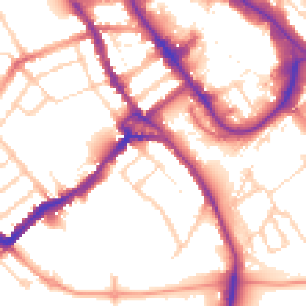
Daytime· 07:00 – 23:00
54.5dB

Night-time· 23:00 – 07:00
45.1dB