12 Cardiff Road, Watford, WD18 0DT
About 12 Cardiff Road
12 Cardiff Road is a property in Watford (WD18 0DT). It has council tax band C.
It hasn't traded since April 2002, a hold of 24 years that's notably long for the area. Across 1996–2002, sale prices on this property compounded at 13.7% per year.
Know exactly what you're buying at 12 Cardiff Road
Before you offer, see what the listing won't tell you, the true value, the red flags and the full history.
Already flagged here
Valuation
against the asking price
Risks
planning & flood
Sold prices
similar homes nearby
Trends
the local market
Energy performance
No EPC on record
This property doesn't have an Energy Performance Certificate yet. An EPC is required to sell or let — and unlocks our automated valuation.
Planning history
12 Cardiff Road has no planning applications on record.
Notable planning nearby
7applications of note in the surrounding area
We flagged 1 thing worth checking at 12 Cardiff Road
Independent checks surfaced things a buyer would want to understand before offering. The report explains each one in full, with the underlying data and what to ask.
- Signs of HMO activity in the area
30-day money-back guarantee
Sales history & valuation
12 Cardiff Road has more than doubled in price since the earliest registered sale in 1996.
£123,000
Growth on file: 13.7% per year over 6 years.
Sales timeline
16 April 2002Most recent
£123,000
+113.9%over 5 years9 May 1996
£57,500
Median price across the last 5 sales in WD18 0DT: £365,000 (2025–2021).
Everything we know about 12 Cardiff Road, in one report
What it's really worth, what could be wrong, and the planning, sales and area data in full.
What we flagged
- Signs of HMO activity in the area

Similar properties nearby
1 Farthing Close
WD18 0BT
1 Clark Mews
WD18 0HG
1 Bridgeford House, Cassio Road
WD18 0QR
1 Beaumont Place, Brightwell Road
WD18 0AJ
1 Crakers Mead, Rosslyn Road
WD18 0JZ
1 Benskin Road
WD18 0HN
1 Christie Court
WD18 0LA
1 Addison Court, St Marys View
WD18 0GR
The neighbourhood at a glance
Rail-style transport is unusually close for this postcode.
Crime
8/mo
Steady year-on-year across the wider district.
Nearest stop
0.3 km
Lammas Road — bus stop.
Closest school
0.2 km
Field Junior School. 36 schools nearby.
Go deeper on the local area
The full report breaks down crime, transport links, schools and air quality in depth.
Road noise across the postcode
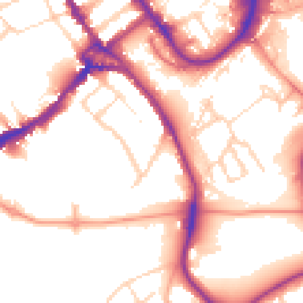
Daytime· 07:00 – 23:00
53.8dB

Night-time· 23:00 – 07:00
44.5dB