17 Church Road, Watford, WD17 4PY
About 17 Church Road
17 Church Road is a two-bedroom end-of-terrace house in Watford (WD17 4PY). It has a recorded floor area of 67 m² (around 721 sq ft), construction records dating it to before 1900 and council tax band D. The latest certificate (April 2019) shows a D (score 57), a step below the typical UK home. When first surveyed in December 2008 the rating was E, the property has climbed 1 band since. Between certificates, roof efficiency went from Average to Good and lighting went from Average to Very Good. The recommended improvements would lift it to B (score 86), a 2-band jump. Other recorded features include a basement.
Most recent transfer was November 2025 at £448,900 — fresh data. At 67 m² it's 20.1% larger than the typical home in the postcode (56 m² median across 30 EPCs). On a £-per-square-foot basis, the last sale (£622/sq ft) was about 76.3% above the typical sold price in the postcode.
What this property has
Inside
- Bedrooms2
- Bathrooms1
- Dining roomYes
- BasementYes
Outside
- Private gardenRear
Building
- RefurbishedYes
Everything you need to know about 17 Church Road
The true value, the hidden risks and the full sale history, in one report.
30-day money-back guarantee

The data behind every report


Energy performance
Recommended upgrades on file would lift this property by multiple EPC bands.
EPC Rating
Property Improvements
Changes detected from historical EPC data
Heating controls changed
Loft insulation upgraded to recommended levels
More low energy lighting installed
Planning history
17 Church Road has no planning applications on record.
Notable planning nearby
3applications of note in the surrounding area
Sales history & valuation
17 Church Road valuation sits well clear of the typical sold price in this postcode.
£471,000
Modelled from EPC, postcode comparables.
£448,900
Recorded with HM Land Registry.
Sales timeline
14 November 2025Most recent
£448,900
Median price across the last 5 sales in WD17 4PY: £420,000 (2025–2022).
Versus other Church Road homes
On years held, 17 Church Road runs well behind the street norm.
Price per m²
£6,700
Street avg £5,940
Floor Area
67 m²
Street avg 83 m²
Habitable Rooms
3 rooms
Street avg 4 rooms
CO₂ Emissions
3.9 t/year
Street avg 3.3 t/year
Everything you need to know about 17 Church Road
The true value, the hidden risks and the full sale history, in one report.
30-day money-back guarantee
The data behind every report
Similar properties nearby
1 Bromet Close
WD17 4LP
1 Arden Court, Lockhart Road
WD17 4AQ
1 Biskra, Langley Road
WD17 4PF
1 Burrow Close
WD17 4DS
1 Cole Road
WD17 4QR
1 Greenbank Road
WD17 4JJ
1 Essex Road
WD17 4EL
1 Birchmead
WD17 4RU
The neighbourhood at a glance
Rail-style transport is unusually close for this postcode.
Crime
10/mo
Steady year-on-year across the wider district.
Nearest stop
0.2 km
Railway Bridge — bus stop.
Closest school
0.7 km
Nascot Wood Infant and Nursery School. 36 schools nearby.
Go deeper on the local area
The full report breaks down crime, transport links, schools and air quality in depth.
Road noise across the postcode
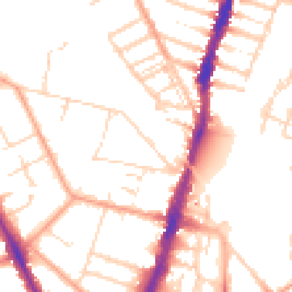
Daytime· 07:00 – 23:00
50.9dB

Night-time· 23:00 – 07:00
41.1dB