2 Walton Lea Cottage, Chester Road, Higher Walton, Warrington, WA4 6TB
About 2 Walton Lea Cottage
2 Walton Lea Cottage is a three-bedroom mid-terrace house in Higher Walton, Warrington, Warrington (WA4 6TB). It has a recorded floor area of 107 m² (around 1152 sq ft), construction records dating it to before 1900 and council tax band D. The latest certificate (July 2022) shows a D (score 64), on the cusp of jumping into the C band. When first surveyed in July 2020 the rating was F, the property has climbed 2 bands since. Between certificates, roof efficiency went from Very Poor to Good, window efficiency went from Very Poor to Good and hot-water efficiency went from Very Poor to Good. The recommended improvements would lift it to B (score 82), a 2-band jump. Period features are noted in the property record.
Across 2021–2023, sale prices on this property compounded at 14.6% per year. On a £-per-square-foot basis, the last sale (£365/sq ft) was about 57.7% above the typical sold price in the postcode. Sold August 2023 for £420,550.
What this property has
Inside
- Bedrooms3
- Bathrooms1
- EnsuiteYes
Outside
- Private gardenYes
Building
- Heating systemGas
- Period featuresYes
- RefurbishedYes
Everything you need to know about 2 Walton Lea Cottage
The true value, the hidden risks and the full sale history, in one report.
Pick your report · every report is £14.99
One time fee only - money back guarantee

The data behind every report


Energy performance
Recommended upgrades on file would lift this property by multiple EPC bands.
EPC Rating
Property Improvements
Changes detected from historical EPC data
Heating controls upgraded for better temperature management
Hot water system upgraded
Single glazing replaced with double or better glazing
Roof insulation improved
More low energy lighting installed
Get a survey for this property
Level 3 Building Survey
Because the property was built before 1919 and has solid (non-cavity) walls, we believe a Level 3 building survey should be considered.
From £1,020 · Includes VAT
Planning history
2 Walton Lea Cottage has no planning applications on record.
A planning report still maps activity across the surrounding area and reads this property's extension & conversion potential.
Sales history & valuation
2 Walton Lea Cottage valuation sits well clear of the typical sold price in this postcode.
£432,000
Modelled from EPC, postcode comparables and a sale-price growth of 14.6% per year over 2 years.
£420,550
Growth on file: 14.6% per year over 2 years.
Sales timeline
20 August 2023Most recent
£420,550
+31.4%over 2 years17 August 2021
£320,000
Median price across the last 4 sales in WA4 6TB: £296,500 (2022–2004).
Nearby sales in WA4 6TB
Everything you need to know about 2 Walton Lea Cottage
The true value, the hidden risks and the full sale history, in one report.
Pick your report · every report is £14.99
One time fee only - money back guarantee
The data behind every report
Similar properties nearby
1 Brackley Street, Stockton Heath
WA4 6DY
1 Causeway Avenue
WA4 6QQ
1 Brickfield Cottage, Delph Lane, Daresbury
WA4 6SS
1 Carlton Street, Stockton Heath
WA4 6LX
1 Belvoir Road, Walton
WA4 6PE
1 Carlingford Road, Stockton Heath
WA4 6SA
1 Boat Walk
WA4 6HQ
1 Bramley Mews, Stockton Heath
WA4 6PR
The neighbourhood at a glance
Crime
2/mo
Steady year-on-year across the wider district.
Nearest stop
0.4 km
Stag Inn — bus stop.
Closest school
1.0 km
Stockton Heath Primary School. 15 schools nearby.
Go deeper on the local area
A Local Area report breaks down crime, transport links, schools and air quality in depth.
Road noise across the postcode
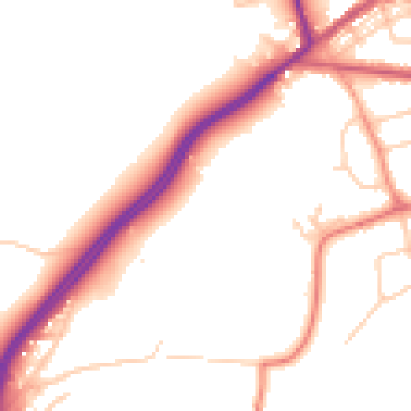
Daytime· 07:00 – 23:00
51.4dB

Night-time· 23:00 – 07:00
43.4dB