1 Glebe Avenue, Grappenhall, Warrington, WA4 2SQ
About 1 Glebe Avenue
1 Glebe Avenue is a property in Grappenhall, Warrington, Warrington (WA4 2SQ). It has council tax band D.
Energy performance
No EPC on record
This property doesn't have an Energy Performance Certificate yet. An EPC is required to sell or let — and unlocks our automated valuation.
Get a survey for this property
Level 2 HomeBuyer Report
We've checked 10 risk factors against the available data for this property and believe a Level 2 HomeBuyer Report could be a suitable option for you.
Planning history
No planning applications are recorded against 1 Glebe Avenue, Grappenhall, Warrington, WA4 2SQ. The full report also covers planning activity across the surrounding area.
Sales history & valuation
No sales recorded with HM Land Registry
That can mean the property has never traded since the registry began publishing in 1995, was a new build that hasn't been registered yet, or is held in the same hands long-term.
Median price across the last 5 sales in WA4 2SQ: £400,000 (2025–2022).
Nearby sales in WA4 2SQ
43 Glebe Avenue, Grappenhall, Warrington, WA4 2SQ
Sold Jan 2025
£400,00058 Glebe Avenue, Grappenhall, Warrington, WA4 2SQ
Sold Dec 2024
£440,00050 Glebe Avenue, Grappenhall, Warrington, WA4 2SQ
Sold May 2024
£265,00056 Glebe Avenue, Grappenhall, Warrington, WA4 2SQ
Sold Dec 2023
£440,00035 Glebe Avenue, Grappenhall, Warrington, WA4 2SQ
Sold Dec 2022
£370,000
Similar properties nearby
1 Ackers Lane, Stockton Heath
WA4 2BZ
1 Alderley Road, Thelwall
WA4 2JB
1 Alexandra Road, Grappenhall
WA4 2EL
1 All Saints Drive, Thelwall
WA4 2JQ
1 Archer Avenue
WA4 2RW
1 Arley Avenue, Stockton Heath
WA4 2AZ
1 Ascot Close, Grappenhall
WA4 2QT
1 Ashley Close, Grappenhall
WA4 2RB
The neighbourhood at a glance
Crime
2/mo
Steady year-on-year across the wider district.
Nearest stop
0.3 km
East View — bus stop.
Closest school
0.3 km
Grappenhall St Wilfrid's CofE Primary School. 18 schools nearby.
Road noise across the postcode
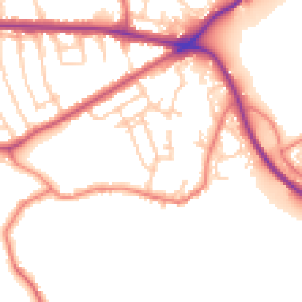
Daytime· 07:00 – 23:00
51.7dB

Night-time· 23:00 – 07:00
43.4dB